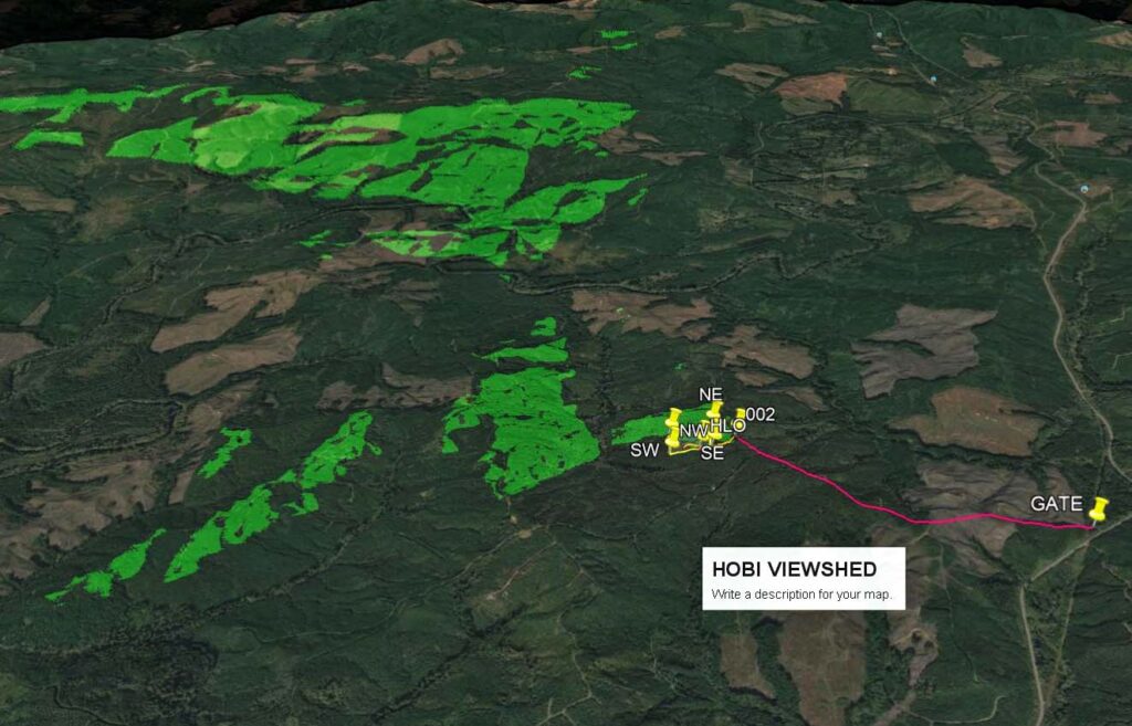
Lookout Site Regions: Origin Site ~ WA Coast, Re-Lo Site ~ WA Coast
The move of the 2-story lookout cabin from Hobi Peak to Brittain Hill in 1949 is an example of a Type 3 Re-Location. Hobi Peak was no longer used for fire detection and the lookout cabin continued to be useful for fire detection at its new site. Like many of these Type 3 re-locations, the second lookout was later abandoned and little or nothing remains to be seen at either site.
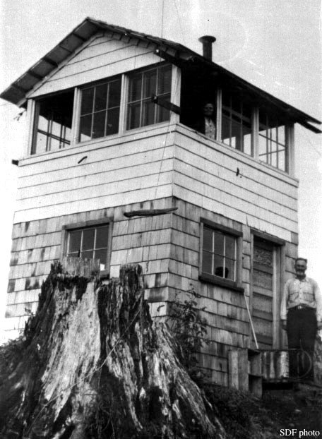
Ray Kresek’s 2015 Lookout Inventory states that the Hobi Peak Lookout, a 10’ wooden live-in enclosed tower, was built in 1942 by the State Department of Forestry (now the DNR). It is not known if the structure was ever used for fire detection at the Hobi Peak site. The Aircraft Warning Service activated an AWS Station at Hobi Peak on April 18, 1942 “using existing structures owned by the State of Washington”. The AWS later added a 12’ x 20’ garage to the site. The AWS was apparently the sole user of the 2-story cabin and garage from April 1942 until the AWS was disbanded in May, 1944. The AWS then returned the re-conditioned lookout and the garage to the State of Washington.
A March 12, 1942 letter stated in part:” Hobi Lookout: This point is not satisfactory as a lookout….” If the Hobi Lookout was used as a fire lookout after the AWS returned it in 1944, it would have only been for a short time. The Annual Report of the Forestry Division included the following: 1946: “An abandoned 14’x14′ lookout tower was moved from Hobi Peak near Artic to Brittain Hill on the Humptulips, which furnishes additional protection to a vast area of second growth timber.” (Note the difference in the lookout cabin size in the two descriptions.)
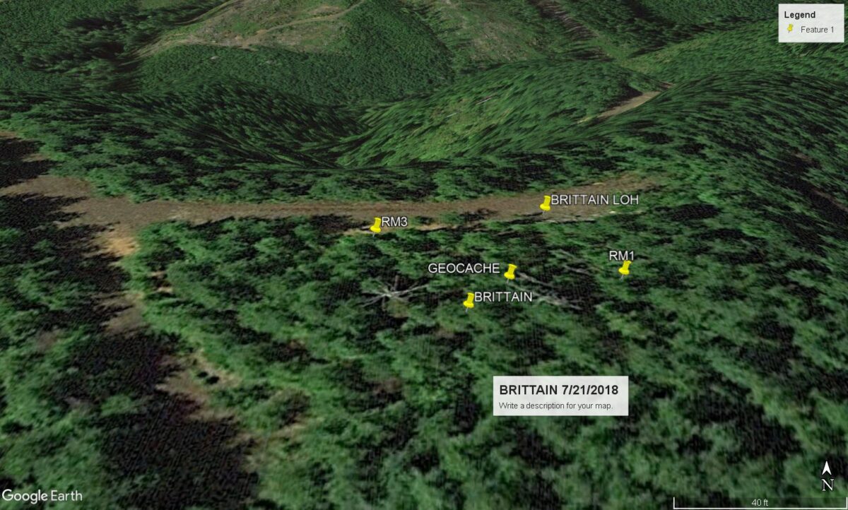
The new location of the Hobi Lookout, now the Brittain Lookout, was just below the top of 1231’ high Brittain Hill. It was in use as a fire lookout there at least through the 1957 fire season as the following newspaper article states: “Mrs. Muriel Bodey of Route 1, Hoquiam, went to Brittain to start her fifth year as a forest lookout. Brittain is located about nine miles east of Humptulips. (The Daily Chronicle ~ June 13, 1957). Two survey stations were established on Brittain Hill by the National Geodetic Survey (NGS) in 1953. A Benchmark Station Disk stamped Brittain 1953 was established on the summit ridge of Brittain Hill. The second survey station was the top and center of the nearby Brittain Lookout House. The visit history in the NGS Data sheets for these two stations indicate that the lookout building was still there in 1962, but that “some leveling of the ground around the lookout house has been done”. The next reported visit was in 1970 and it reported that “the lookout house was torn down several years ago”. Most other references state that the Brittain Lookout was gone by 1963.
(Much of the lookout history above comes from articles or documents included in Ron Kemnow and Eric Willhite’s web sites.)
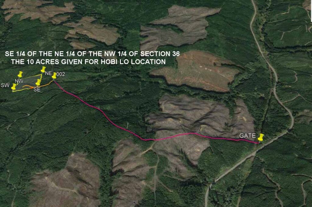
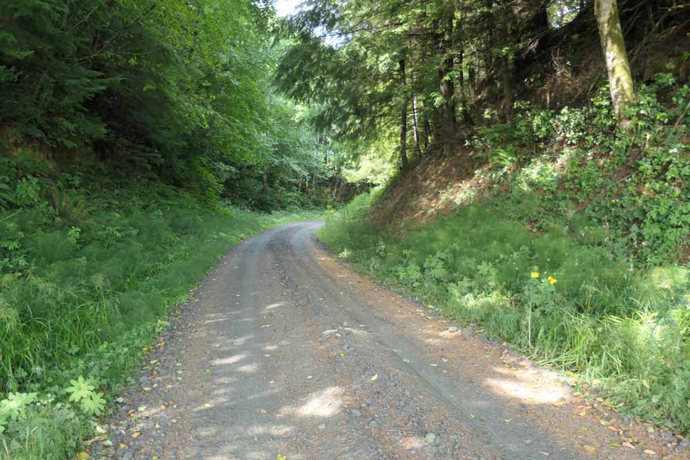
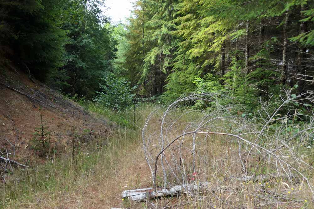
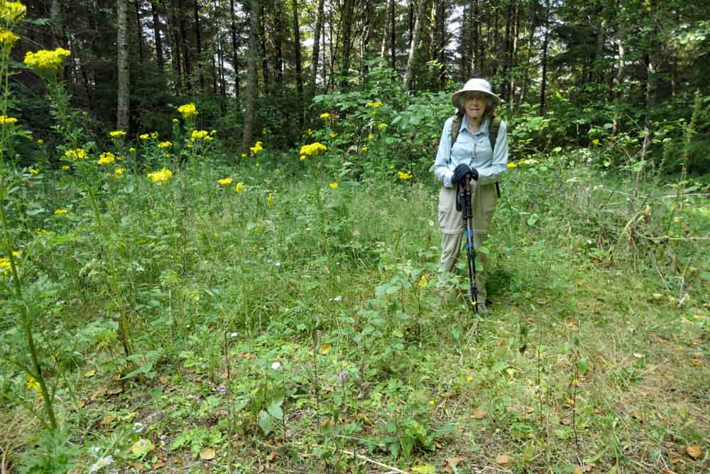
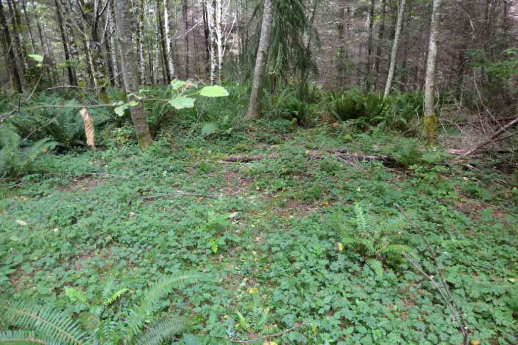
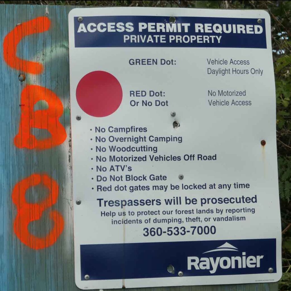
Peggy and I recently visited both of these lookout sites. We walked through mixed second growth or clear-cut private logging company property on gated roads to reach the sites. The recorded NGS coordinates given for the Brittain Lookout House allowed us to visit the exact location for that lookout. The only location information for the Hobi Lookout placed at an altitude of 550′ and within a 10 acre (1/64th Section) area. We searched within that forested area and found several potential lookout sites, but found no evidence that the lookout had ever been at any of them.
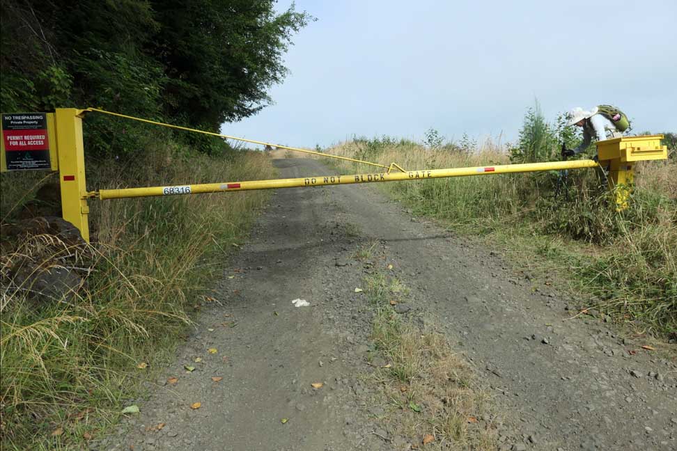
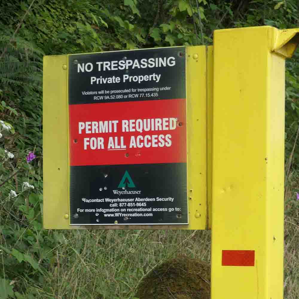
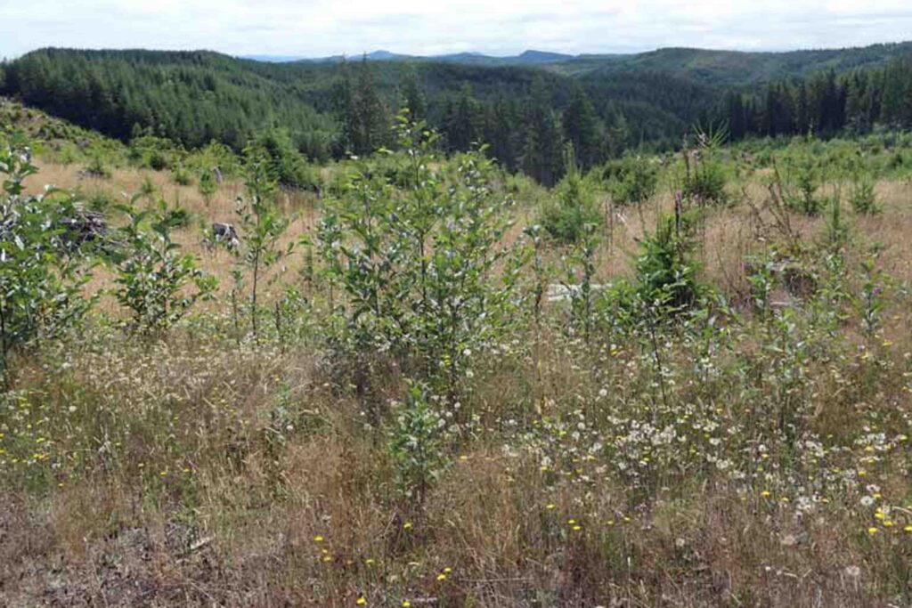
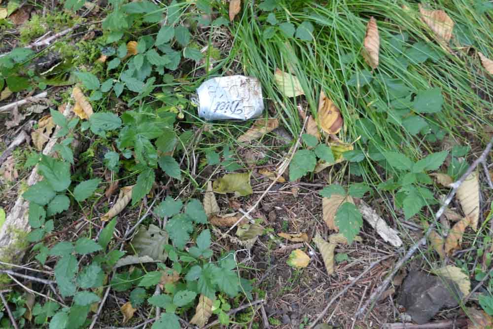
Both lookout sites were viewless due to surrounding growth. There were only a few views through the trees along the access roads. We found no lookout “artifacts” at either site. To top it off we had to buy Recreational Permits from both Rayonier and Weyerhaeuser to visit the sites. It appears that the only reason for one to make these visits is to add two checkmarks to your lookout site visit list.
Hobi Peak Lookout moved to become the Brittain Lookout in 1946

Our visit to Hobi Peak LO’s RE-LO SITE on Brittain Hill on 7/28/2021
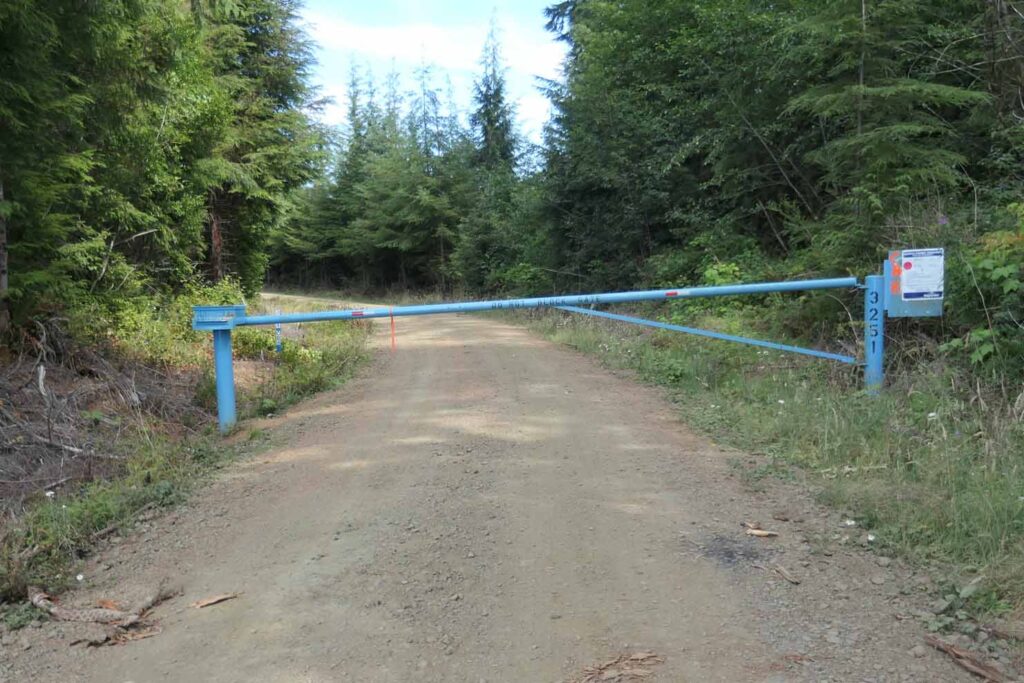
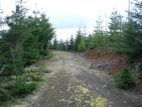
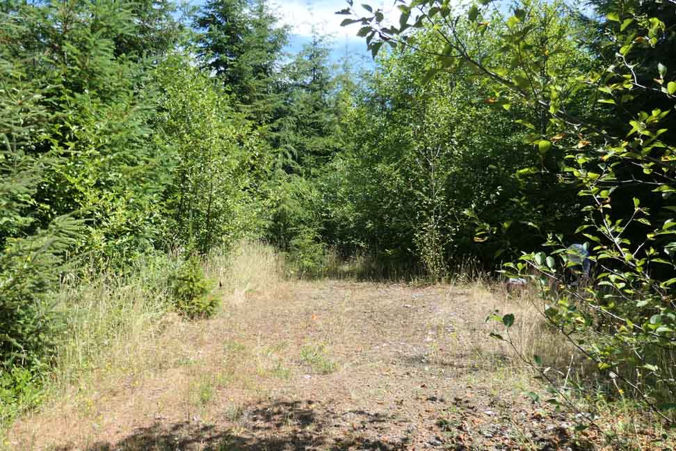
Brittain Hill is on Rayonier’s private forest land. We walked gated logging roads through mixed forest second growth to reach the Brittain Lookout Site.


Our visit to Hobi Peak, the ORIGIN SITE, on 8/5/2021
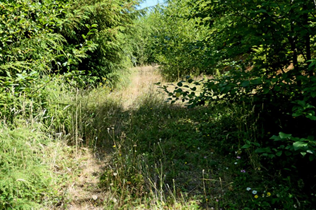
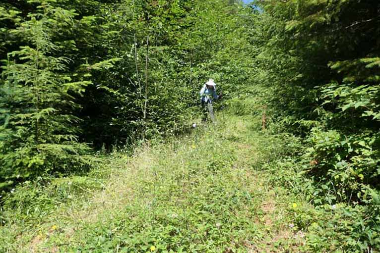
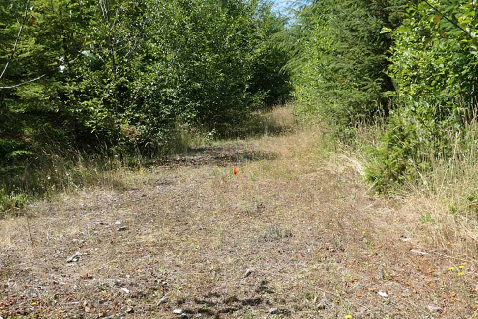
Brittain Hill is on Weyerhaeuser’s private forest land. We walked gated logging roads through mixed forest second growth to search for the Hobi Peak Lookout Site.