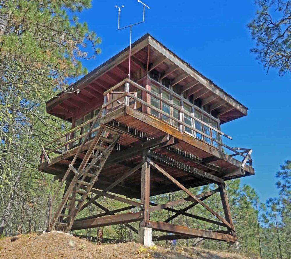
Lookout Site Regions: Origin Site ~ South-Central WA, Re-LO Site ~ Central WA
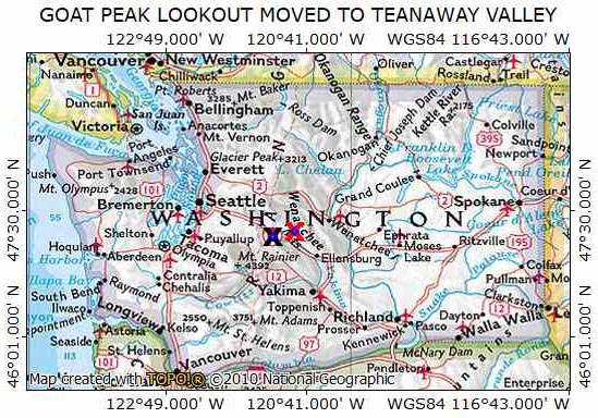
There are 7 Goat Peak or Goat Mountain Lookout sites listed in Ray Kresek’s 2015 Washington Lookout Inventory (actually 8 if you include Nannie Peak). The one near Mazama is still in use and is on the SLOW93 list. The Goat Peak described here is 3 miles (as the crow flies) SSW of Easton. The move of the Goat Peak Lookout to a private owner’s ranch in the Teanaway Valley is an interesting Type 2 Re-Location. It has stood on its current location for over 50 years, but its future fate and location is now uncertain.
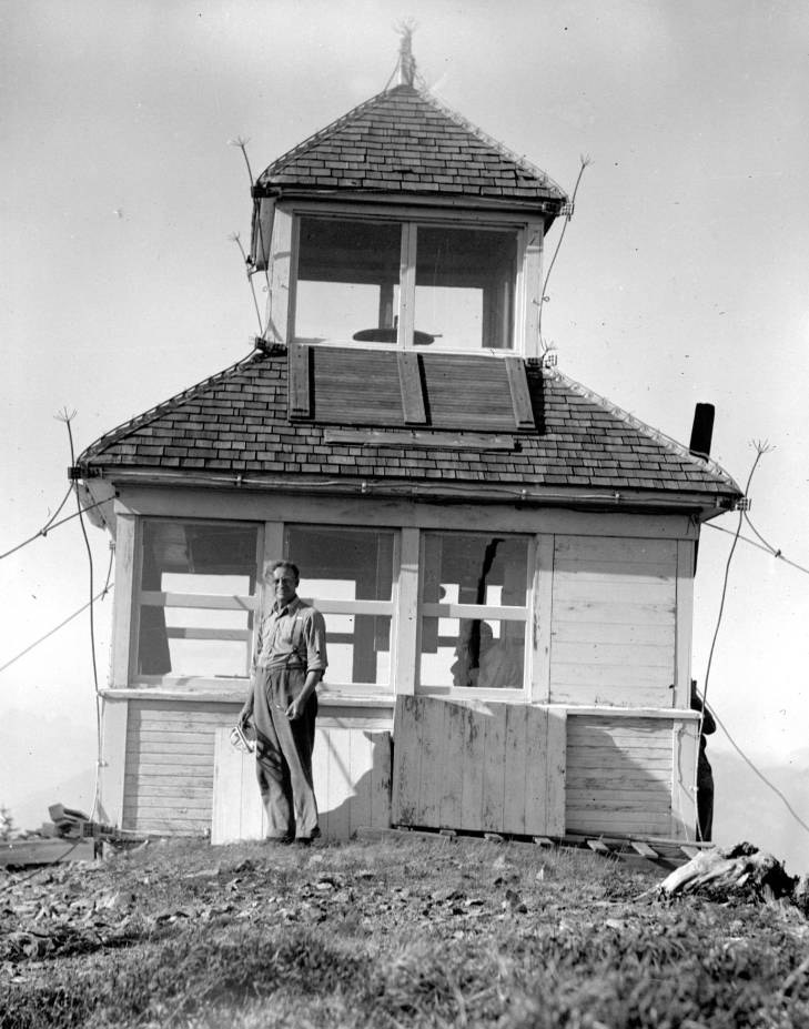
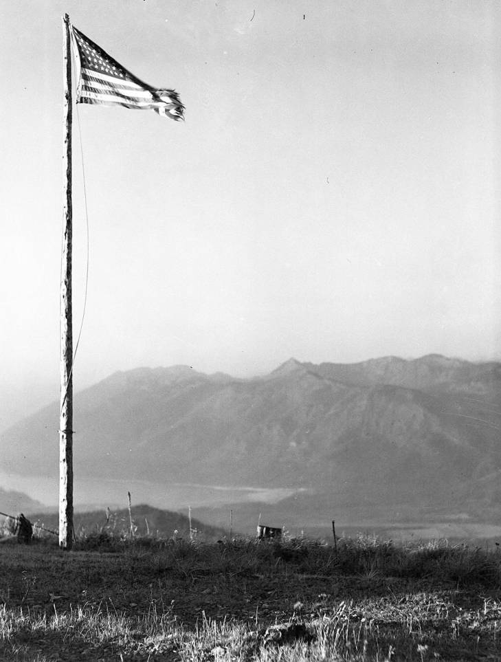
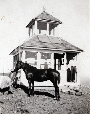
A D-6 Cupola Cab was built by the U. S. Forest Service atop the 5050’ summit of Goat Peak In 1928. One reference writes that the lookout was built on two acres that the Forest Service leased from the Northern Pacific Railroad.
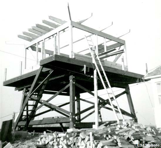
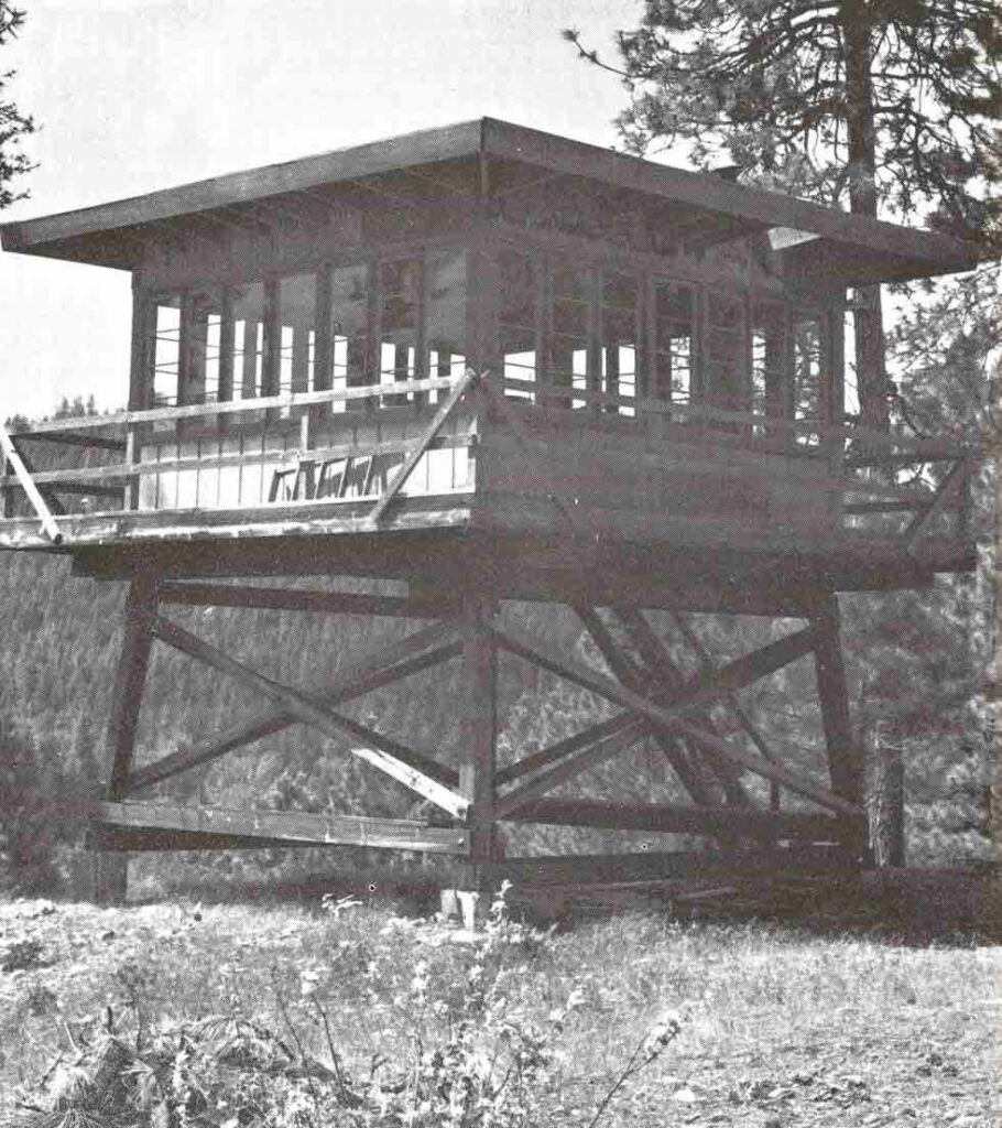
This first lookout was replaced by a R6 Flattop Lookout in about 1960. When the US Forest Service declared this second lookout surplus in 1966, Laurie Contratto asked if he could buy it. Later he was informed that he was the new owner as he had submitted the only bid. He was required to move the lookout off Forest Service land, was only allowed to 3 months to move it and to clean up the debris and was required to build a short road to the peak and then to remove any signs of this right-of-way. In 1969, Laurie’s family and friends took the lookout apart and moved the pieces to his farm in the Teanaway River Valley. It was then re-assembled the next year on a hill on his property overlooking his house and the Teanaway Road where it still stands. (For a more complete history of the lookout and the move, read the interesting accounts pages 159 and 160 of Ray Kresek’s Fire Lookouts of the Northwest and on page 163 of Ira Spring and Byron Fish’s Lookouts~Firewatchers of the Cascades.)
Evidently sometime after the move, the Forest Service’s lease for the two acre site atop Goat Peak expired and the ownership went back to the railroad. This two acre abandoned lookout site is in Section 27 T20N.R13E, which was part of the “checkerboard” of lands granted to the Northern Pacific to provide railroad right-of-way and a means to raise capital needed to build and maintain the rail line. The 1864 Northern Pacific Land Grant conditionally granted alternating sections from six to forty miles on each side of its right-of-way (creating a checkerboard of alternating public and railroad owned land.) After the Northern Pacific was merged into the Burlington Northern Railway, much of this land was transferred to the Plum Creek Timber Company. In 2014, 47,921 acres in Kittitas County were purchased from Plum Creek by The Nature Conservancy as part of the “checkerboard exchange”. This land, which includes the Goat Peak lookout site, is now managed by The Nature Conservancy as the Central Cascades Forest LLC.
When Peggy & I first started hiking the Teanaway trails in the 80s, we could see the re-located lookout above the road as we drove by. Trees have grown up around it over the years and now nearly block the view from the road. If you know where to look, you can still see the lookout from the road.
About 12 years ago, the Contratto family sold the lookout, but not the property that it stood on, to Keith Argow. Keith (the long-time FFLA National Chairman and now Chairman Emeritus based in Washington, DC) planned to move the lookout back to a mountain top to be used by volunteer staffing and for rental. He said that nothing came of this plan after years of discussion with the Forest Service. His effort to move it to a knoll adjacent to the popular Forest Discovery Center on the highway to Mt. St. Helens was also unsuccessful, as the center showed little interest in it. There were rumors that the Suncadia Resort development was interested in acquiring the lookout, either to be used as a volunteer staffed fire lookout over their property or as an amenity in one of their parks. However, nothing came of this.
Unfortunately for Keith, he did not register the deed in the county courthouse at the time of his purchase because he thought several locations for the lookout would be found in a year or two and the Contratto family was supportive. When it was learned of Keith’s ownership of the lookout and the delays in finding a place to move it, a group of local lookout fans discussed how we might help. At one time a broadcast email to the lookout community asking for idea was suggested.
The status of the ownership of the lookout and its future fate and location has become more complicated recently. When we visited the lookout in October, 2020, a neighbor told us that the land was on the market. The 15.7 acre Contratto family property, which included the property that the lookout stood on, was sold in June, 2021 to a family from Cle Elum. The real estate listing did not mention the separate ownership of the lookout structure.
As one of the Contratto sons explained: “My mom and step-dad apparently misplaced the paperwork for the lookout and had no idea of who to contact. They had expected to be contacted regarding the lookout. They had never heard from…anyone after the sale.” Over the years Keith had given periodic phone reports, but these were lost to memory. In February, 2023, Keith reached out to the new landowner who responded that the lookout appealed to him at the time of purchase, but he had no plans for it yet.
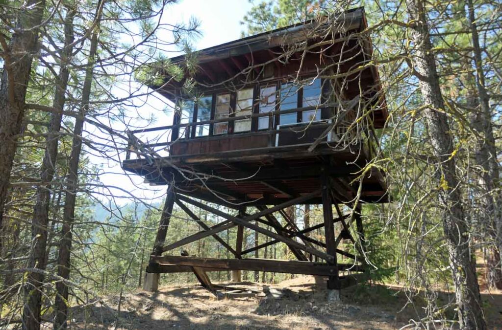
Keith advised the new owner that FFLA members FFLA had periodically checked the condition of the lookout during the last 12 years, but little active maintenance was performed. At the time that we visited it in 2020, the lookout was in fairly good shape, but was beginning to show its age. Moss was growing on the railings, the stairs and catwalk needed some repairs, windows were missing and the interior needed cleaning. Keith visited it in September, 2022 and advised the new owner to check the roof soon for possible leaks. He also mentioned that FFLA members would be willing to provide maintenance assistance or advice.
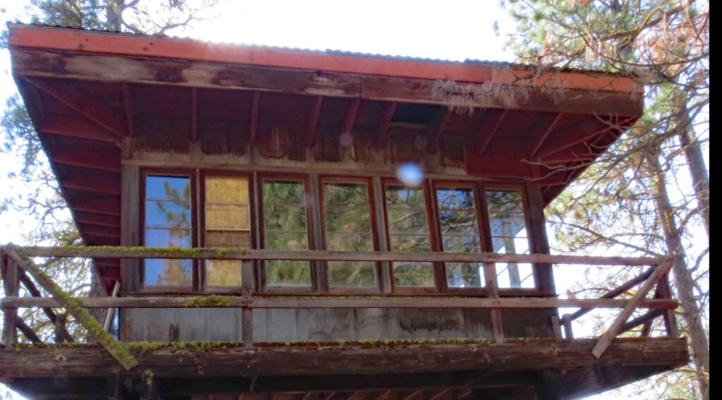
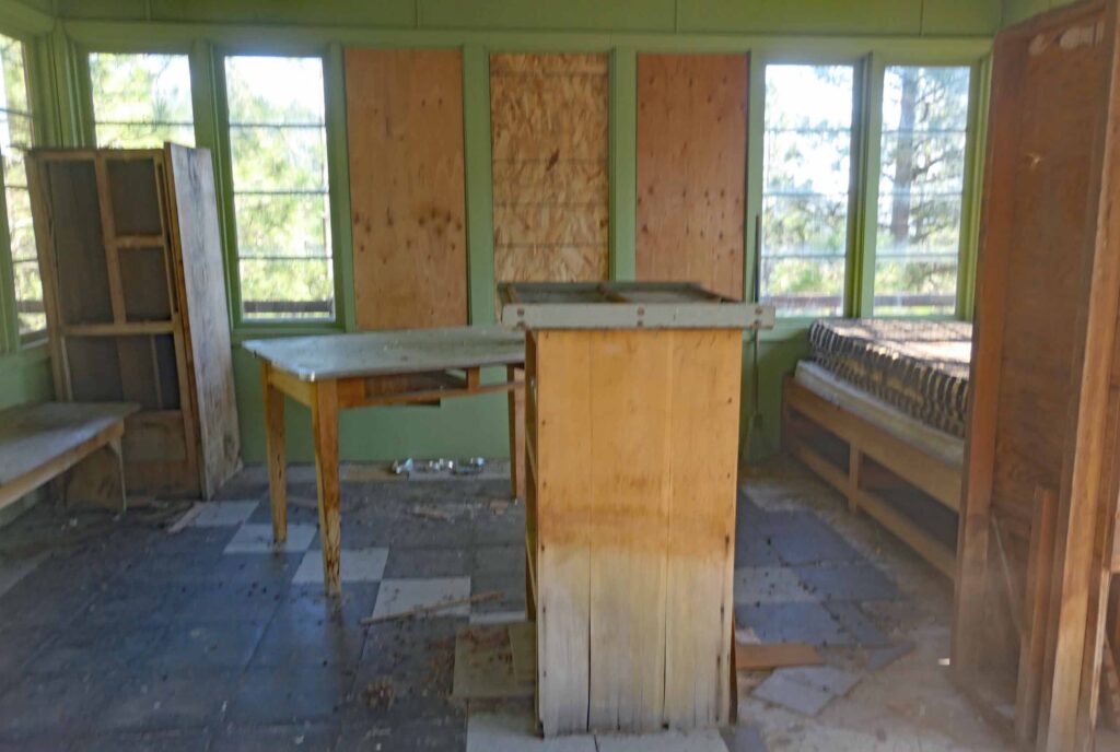
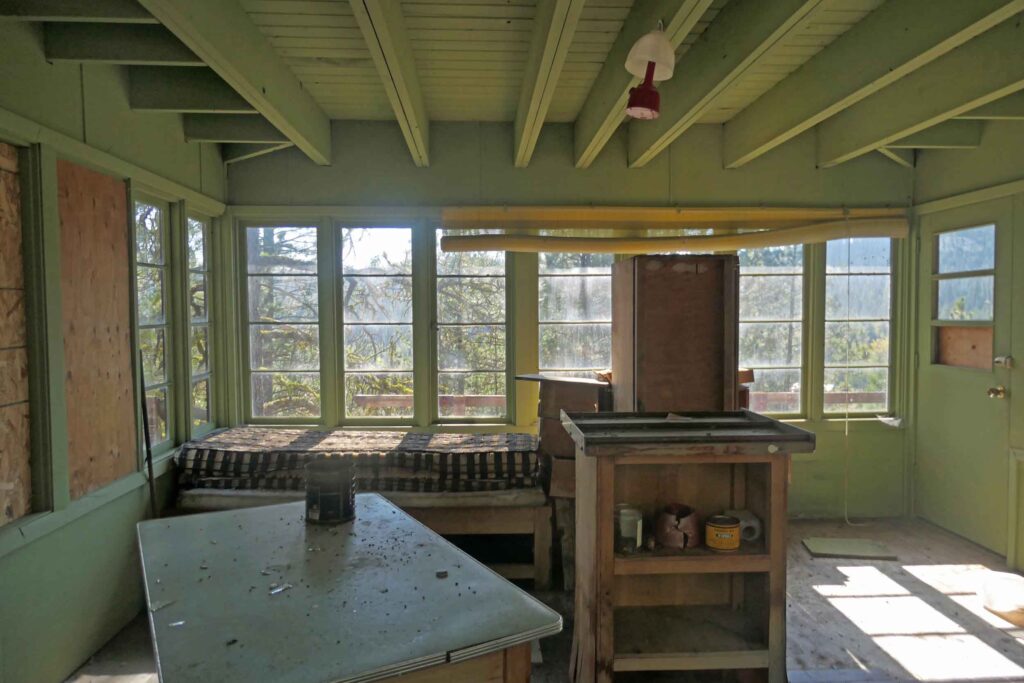
Goat Peak Lookout moved to Teanaway Valley Farm
Laurie Contratto and friends dismantled the lookout and moved it piece-by-piece to the Contratto farm in the Teanaway Valley in the summer of 1969. Next year they rebuilt it atop a small hill there overlooking the Teanaway River Road.

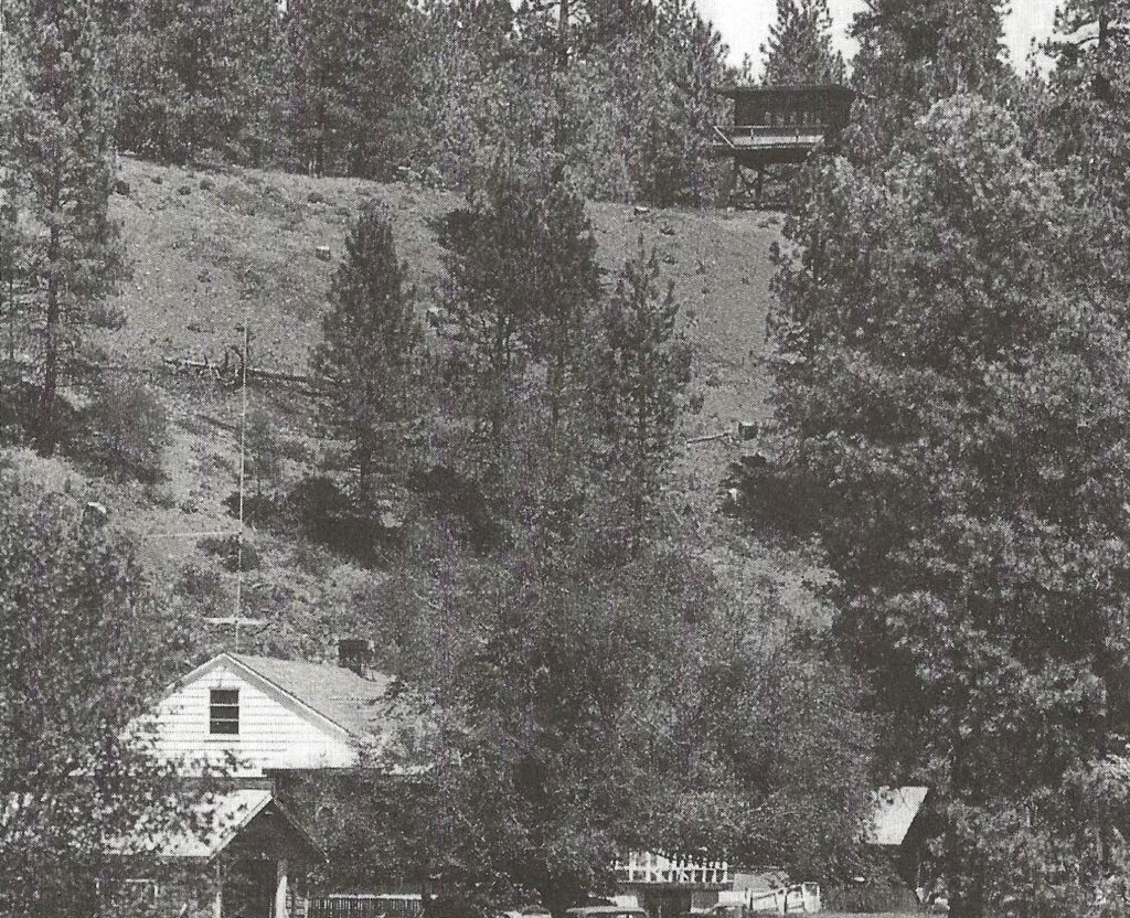
Our visit to the Teanaway Valley farm ~ the Goat Peak LO Re-Location Site
Peggy and I visited the lookout on October 3, 2020. It still stood on the knoll overlooking the Teanaway Road and the Teanaway River Valley beyond. The lookout looked to be in good shape, for a 60 year-old wooden structure.
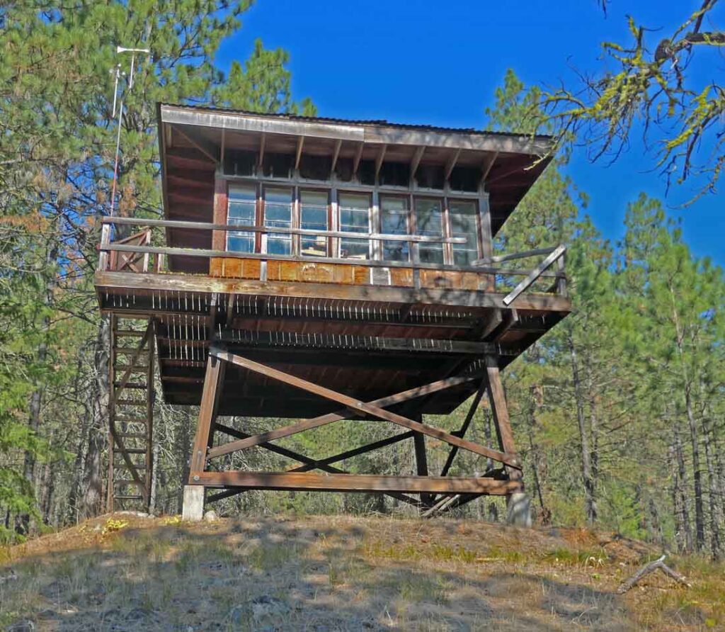
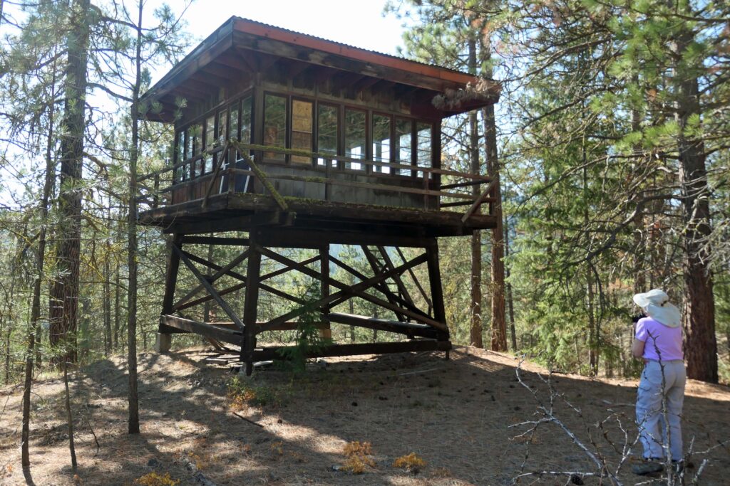


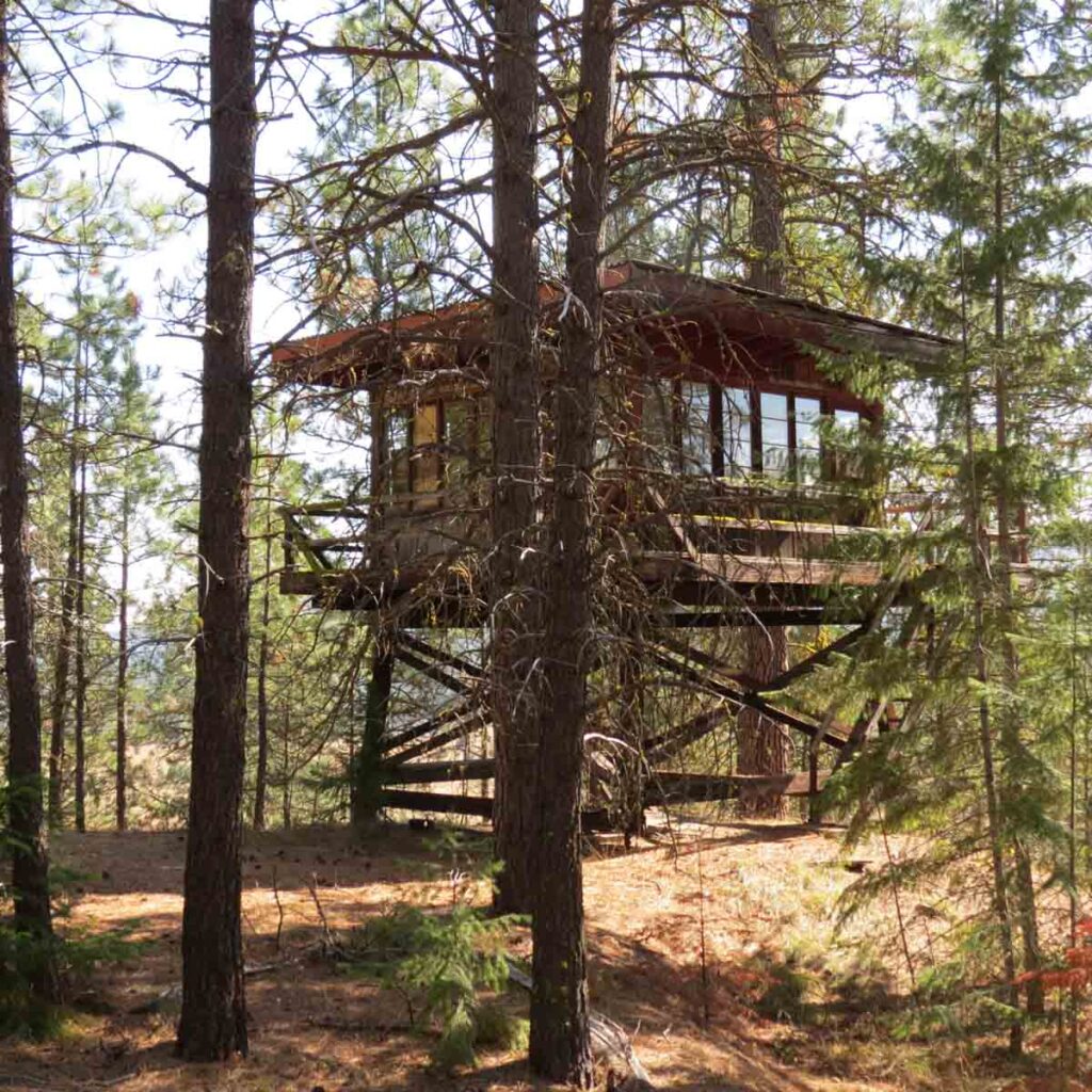
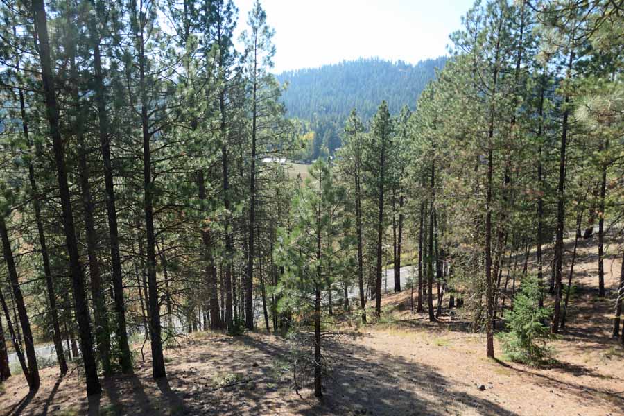
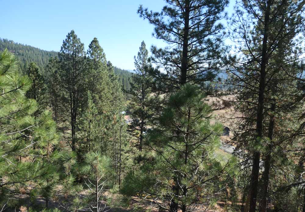
There had been a clear view across the Teanaway River Valley when the lookout was first placed there as the top of the knoll was nearly free of trees. When we visited it, 50 years later, the trees which had grown up around the lookout blocked much of the view.

Our visits to the Goat Peak LO Site ~ the ORIGIN SITE
Peggy and I first hiked up to THE Goat Peak Lookout Site in the 1990s and have visited it many times since then. We have led hikes there for two hiking clubs. Goat Peak can be reached by trail from both the north and from the south. Both trailheads are reached by way of unpaved, gravel and dirt forest roads. The hiking distance is 5 ½ miles round-trip with 1900’ elevation gain using the northern trail. The round-trip hiking distance from the south is 7 miles with about 2000’ total elevation gain.
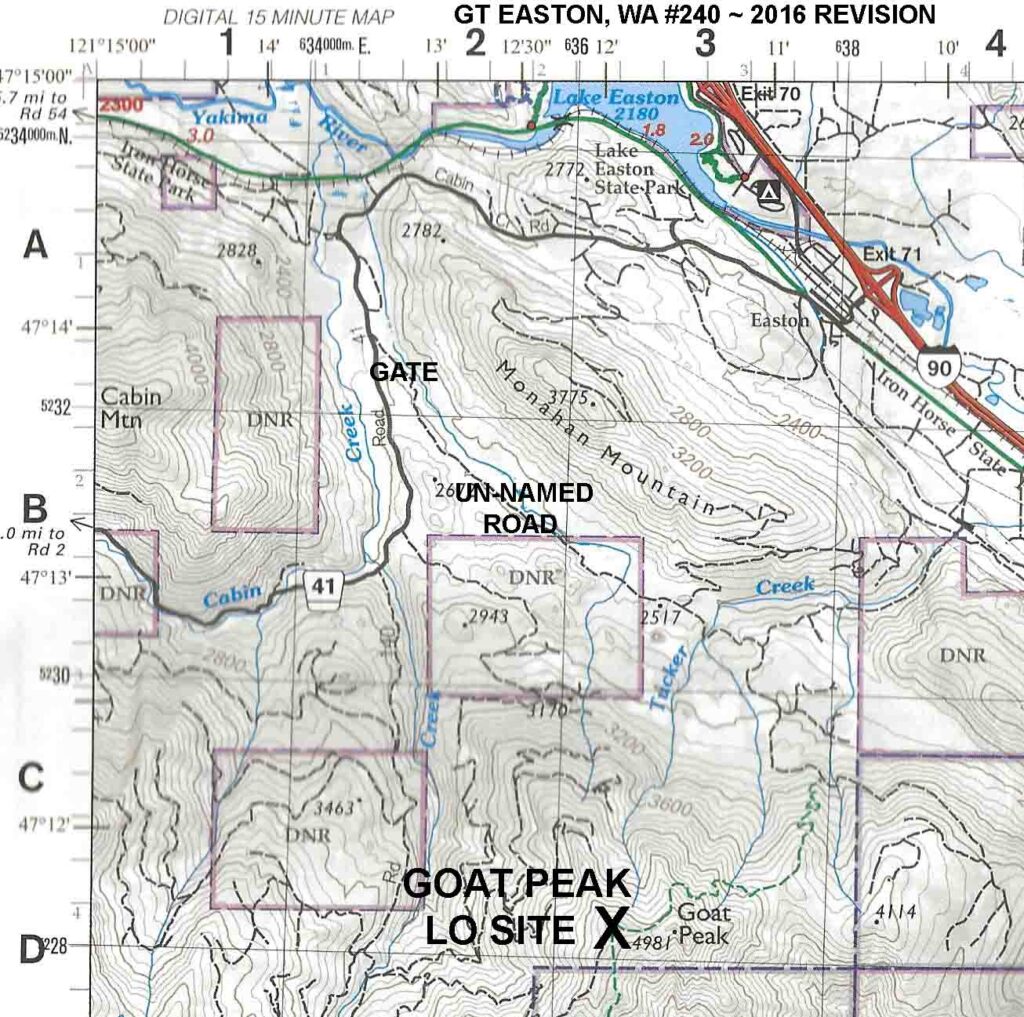
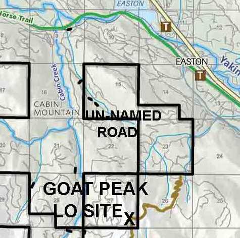
We have used both routes, but our last two or three visits were by way of the north route. The roads to the trailhead and the location of the hiking trailhead and length of the northern trail has changed more than once over the years. About ten years ago, the northern route was closed several years because of logging. The current trailhead is about 7 miles by road from I-90’s Exit 71. The last 3 ½ miles of the drive to the unsigned trailhead are on an un-named dirt and rock forest road which is sometimes gated at its beginning. Much of this road crosses private land that was once owned by the Plum Creek Timber Company. This property was purchased in 2014 by The Nature Conservancy and is now managed by them as part of the Central Cascades Forest LLC. The trail to the lookout site is the north end of the U. S. Forest Service Goat Peak Trail #1304. The trail is on private land owned by the Manke Timber Company.
Both the road and the trail are shown on the 2016 Green Trails Easton map as well as the Nature Conservancy’s 2015 Cabin Creek Summer Recreation map. The Green Trails map indicates the road to be Primitive or Closed and the trail as Not Normally Maintained. The Nature Conservancy describes the trail to have very limited use and in poor condition. Motorcycles, bicycles horses and hikers are permitted and there is a fairly heavy use by the trail motor-cyclists.
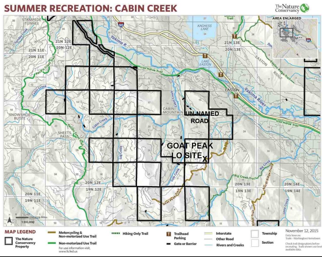
The trail starts in the woods and there are few views in the first mile and 800’ gain. The trail then reaches a road end and logging landing with 180 degree views toward the north. This road does not show on the Green Trail map but a close look at the Nature Conservancy map shows it to be an extension of the road that we drove to the trailhead. We have never checked out the condition of this road extension.

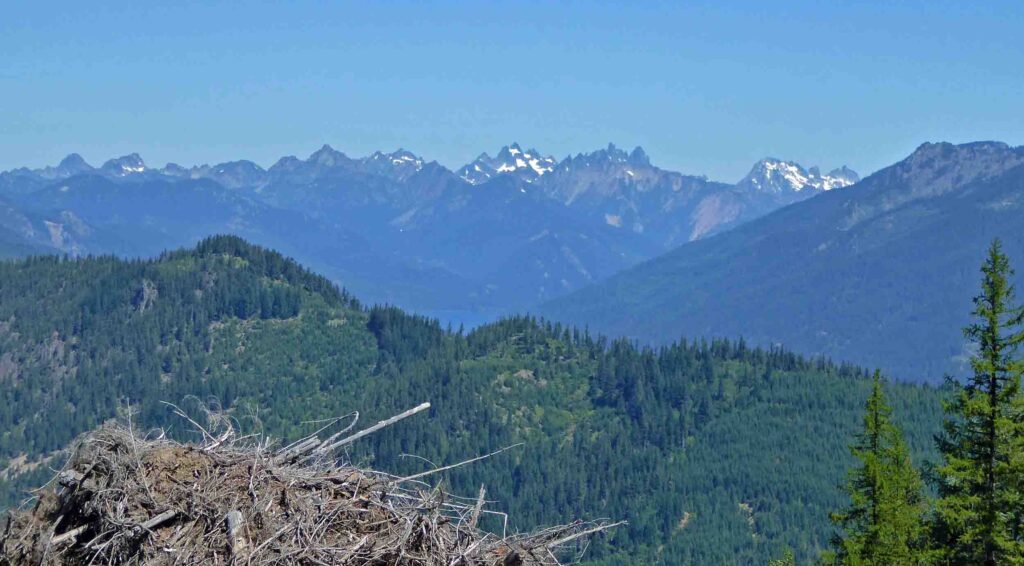
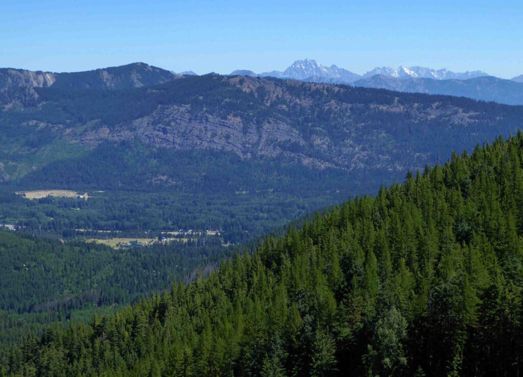
Logging above the road end destroyed a short piece of the trail. The trail motorcyclists have created several “hill-climb” routes to meet the continuing trail in the trees above the clearcut. (For a video showing trail motorcyclists riding the upper trail browse Goat Peak Single Track #@%! Trail Fun!!! Part2. This video also shows the condition of the trail.) The upper trail stays in trees most of the way, but views open up as the trail passes the “goat horns” of Goat Mountain.
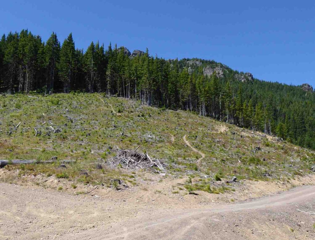

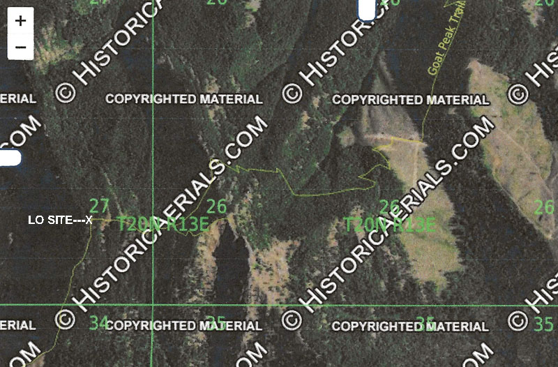

The trail continues past the horns and then up the final ridge to the abandoned lookout site atop Goat Mountain.


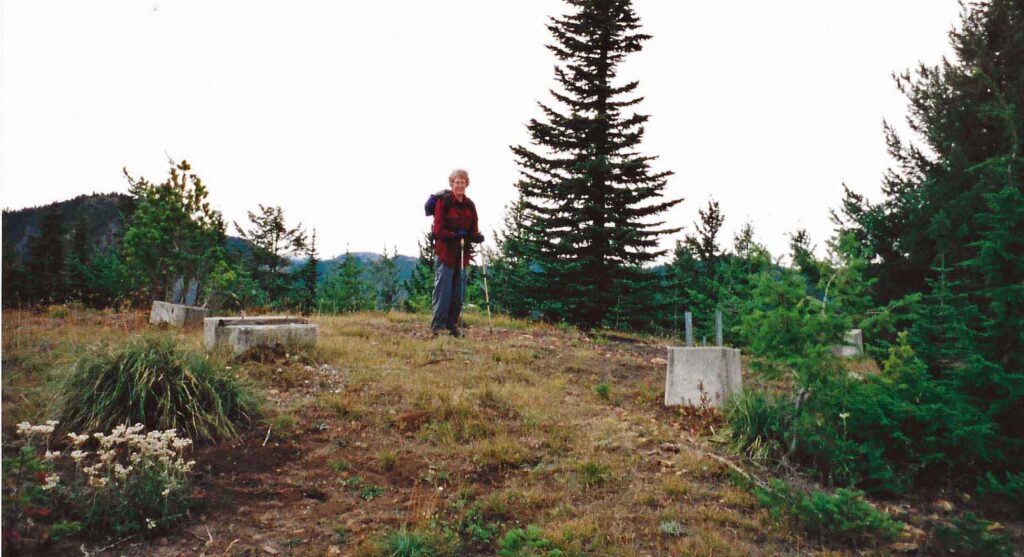
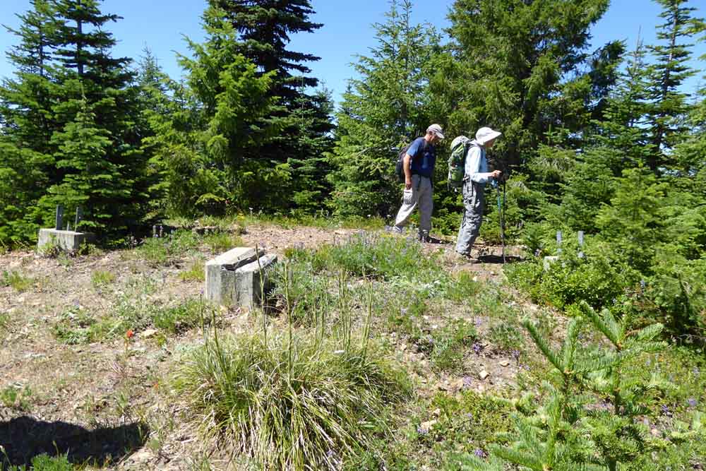
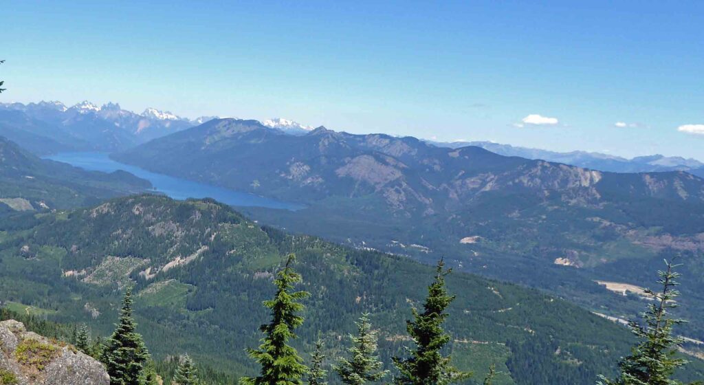
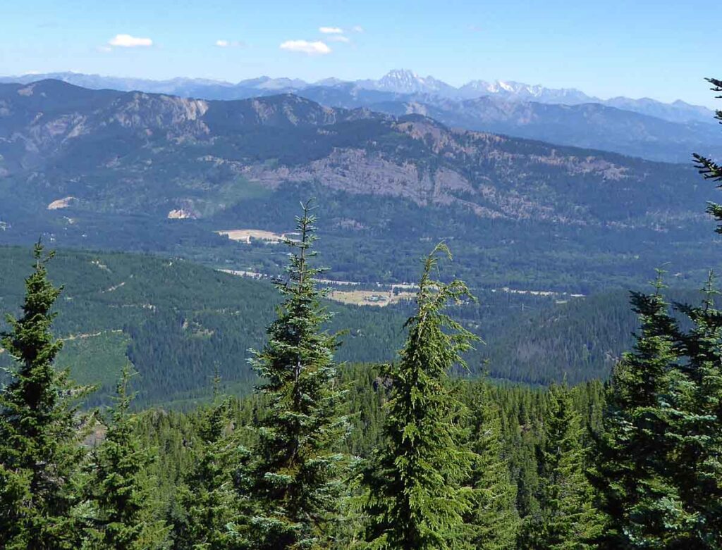
Views of the forested hills to the east and south can be seen from the rocky East Goat Peak which is less than ½ mile east of the lookout site. We saw mountain goats around the base of the summit rock here in 2018.

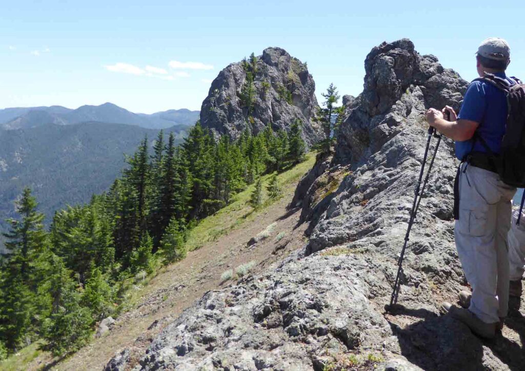
The trail from the south is mainly on either U. S. Forest Service or Central Cascades Forest LLC lands. Eric Willhite used this approach to visit the goat Peak Lookout Sit in October, 2016. His trip report can be read on www.willhiteweb.com . This report reads in part: “The trail takes a ridge up and down to Goat Peak, with the lookout site at an elevation below the trailhead…you nearly summit Cole Butte along the way…From the trailhead to the summit of Cole Butte is about 1.75 miles and about 500 feet of gain. From there, the trail drops 1,000 feet to a saddle between Cole Butte and Goat Peak…Now just continue on the ridge up to the lookout site. Most of the route is in trees but there are many openings along the way which allow for good views.
