Lookout Site Regions: Origin Site ~ Northeast WA, Re-Lo Site ~ Northeast WA
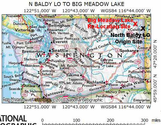
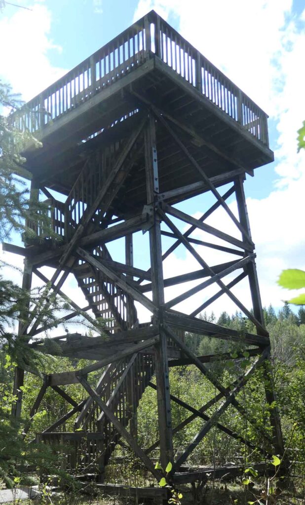
The move of the last lookout tower from North Baldy Mountain in NE Washington to the Big Meadow Lake Wildlife Refuge is an unusual Type 1 Re-Location. In many cases only a part of the lookout is moved to the new location. It is common to move only the cab and destroy the tower at its original location. In this case the tower, or actually only the top 30’ of the 41’ timber tower, was moved and the cab was destroyed in place.
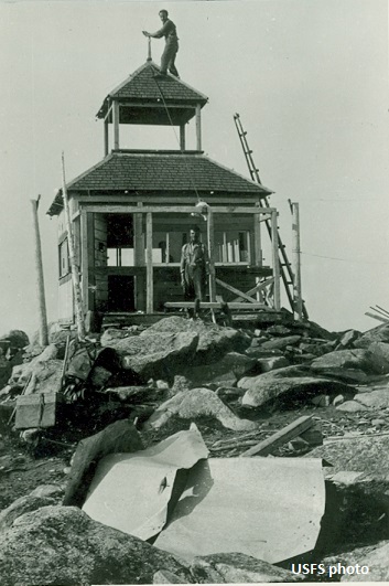
In 1909, a fire detection tent camp was established near the top of North Baldy Mountain. There was a string of replacement lookouts with the last being built in 1964. The North Baldy entry in Rex’s Forest Fire Lookout Page (firelookout.com) includes the following description for this last lookout: “A 41′ treated timber R-6 flat tower, constructed in 1964, was abandoned in the 1970’s. With no guy cables or lightning hardware, the tower managed to stay upright through the 1980’s when it was dismantled in 1989. The top 30′ of the superstructure was moved to Big Meadow Lake west of Ione WA to become a wildlife observation tower.”
The Washington Department of Fish and Wildlife maintains Big Meadow Lake. The WDFW website description includes: “Big Meadow Lake is 4.1-acre shallow lake perfect for family recreating and wildlife viewing. This Lake is found in a beautiful setting of forested mountains. Visitors come for fishing, camping, hiking, birding and canoeing.”
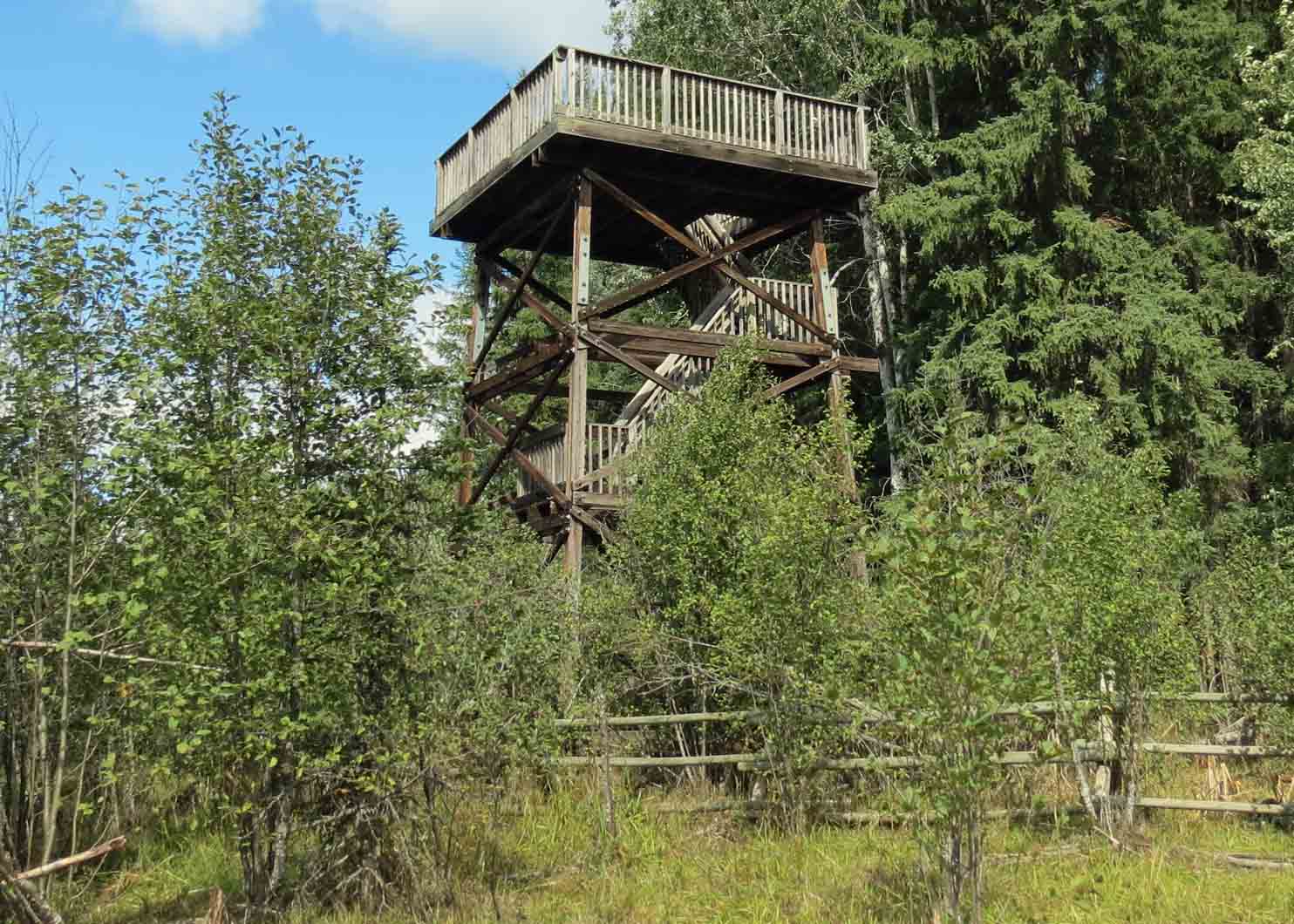
North Baldy Lookout’s Tower moved to Big Meadow Lake in 1989.

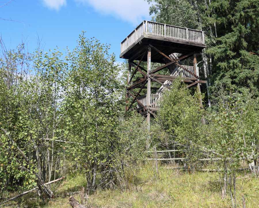
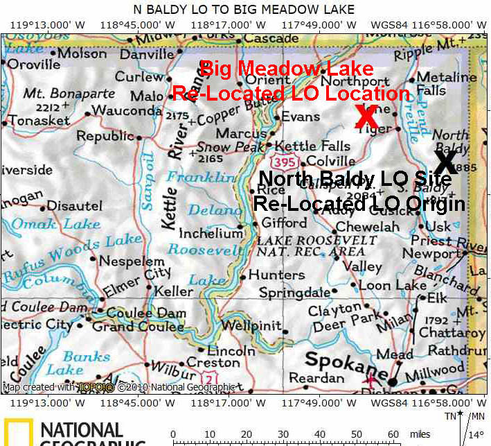
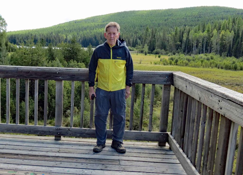
Our 9/1/2021 visit to Big Meadow Lake, the RE-LO SITE for the North Baldy Lookout Tower
According to local historians, the original homesteader of this property dammed Meadow Creek to create Meadow Lake for wildlife habitat. This created a 4.1-acre shallow lake perfect for family recreating and wildlife viewing. There is a campground as well as trails around the lake and the surrounding wetlands and grass lands. The Re-Located North Baldy Lookout Tower was rebuilt as a wildlife viewing platform which can be reached along one of these trails.
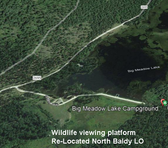
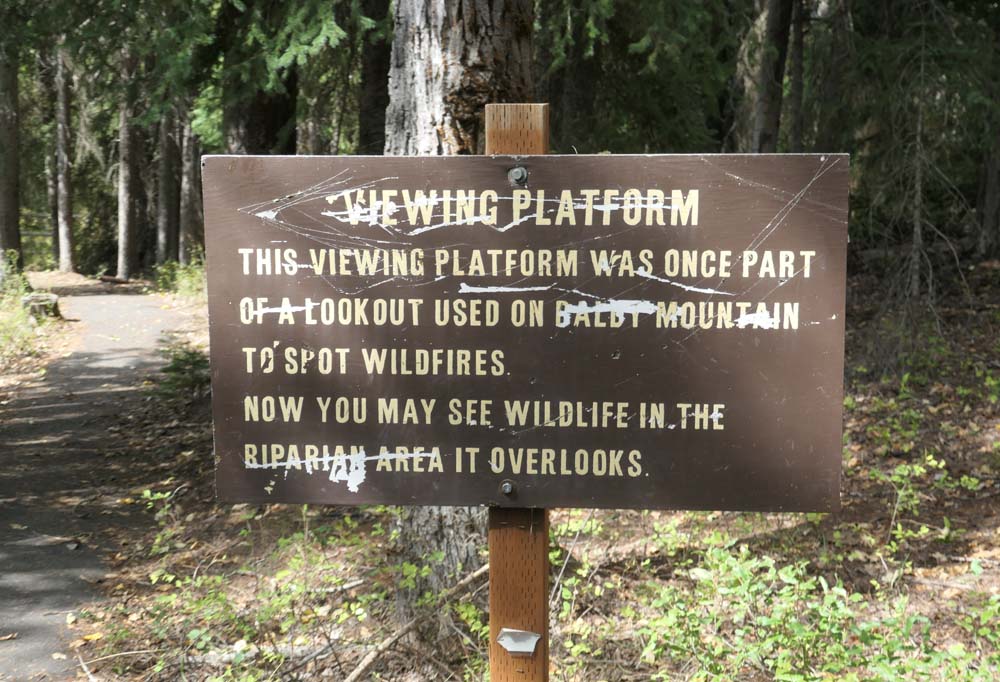
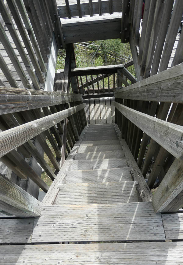
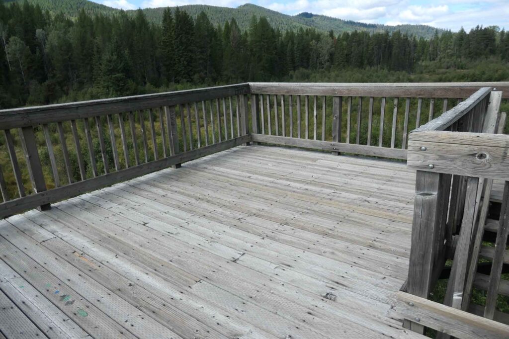
We followed one of these wooded trails to visit the Re-Located LO. When the two photos below are compared, it is easy to see that only the top three of the four stories of the North Baldy tower were being used for the viewing platform and that a new platform had replaced the catwalk and cab atop the shortened tower.


Our visit to North Baldy Mountain, the ORIGIN SITE for the Big Meadow Lake viewing platform
We visited North Baldy Mountain on 9/2/2021. While there are no longer any fire lookouts on North Baldy, there is a long history of fire detection and lookouts there. In addition, an unmanned US Airforce radar station shared the mountain with the fire lookouts for several years. There are 5 steps in the fire detection and lookout history on North Baldy:
- A fire lookout tent camp was established ¼ mile south of the summit in 1909.
- A log cabin was built ¼ mile south of the summit in 1918.
- A cupola cabin, North Baldy’s first live-in fire lookout, was built on the rocky summit of North Baldy. The date used by Kresek and others for this lookout is 1928, but there are USFS photos labeled 1925 showing its construction. (A 1933 Coast and Geodetic Survey report says that the lookout is reached by way of the 8.7 mile Mill Creek Pack Trail.)
- In 1938 a 40’ pole L-4 tower was built near the site of the cupola cabin.
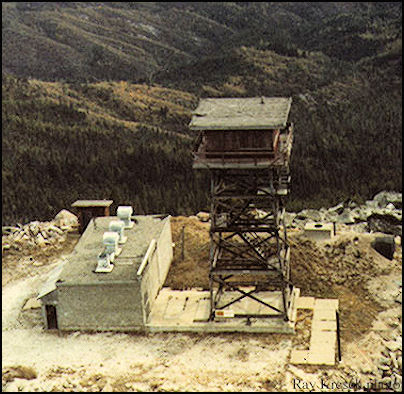
The US Air Force established an unmanned radar site in 1957 on property atop North Baldy. They built a large concrete block communications building and a steel radar tower. (A 1960 Coast and Geodetic Survey report stated that a road now leads to the top.) The radar site was shut down and the property was returned to the US Forest Service in 1962, (The abandoned concrete block communications building which was built by the USAF was still shown in place in a 1986 photo.)
- In 1964, a 41’ timber tower with an R-6 cab was built on the radar site. This was abandoned in the 1970s and torn down around 1989. The top 30’ of this tower was then moved to Big Meadow Lake.
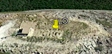
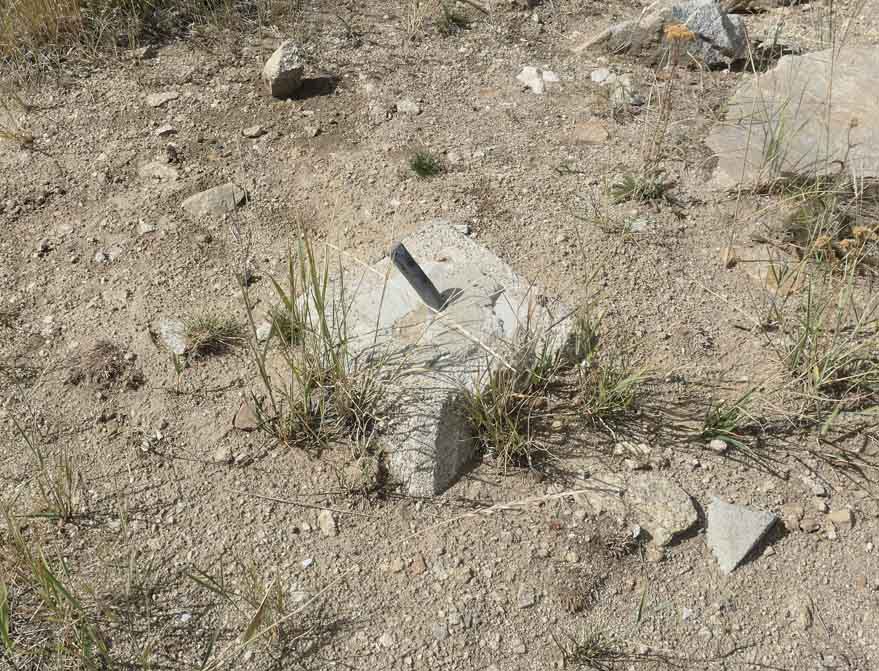
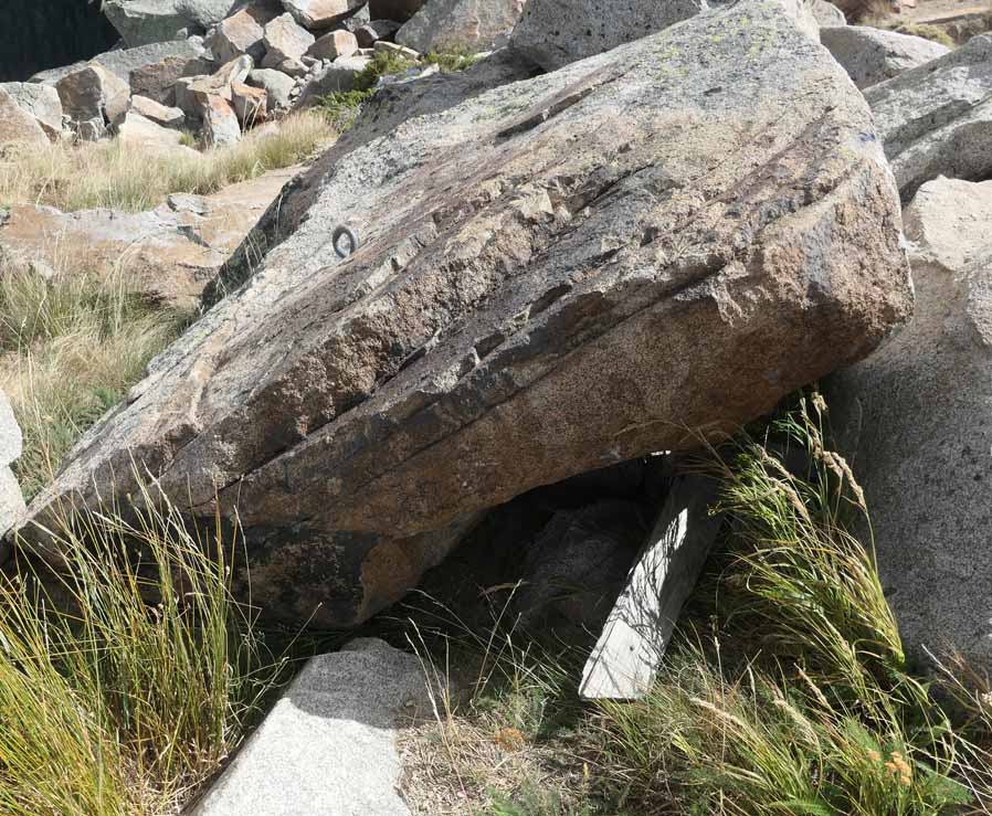
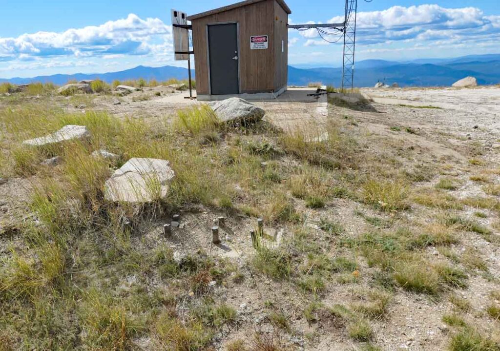
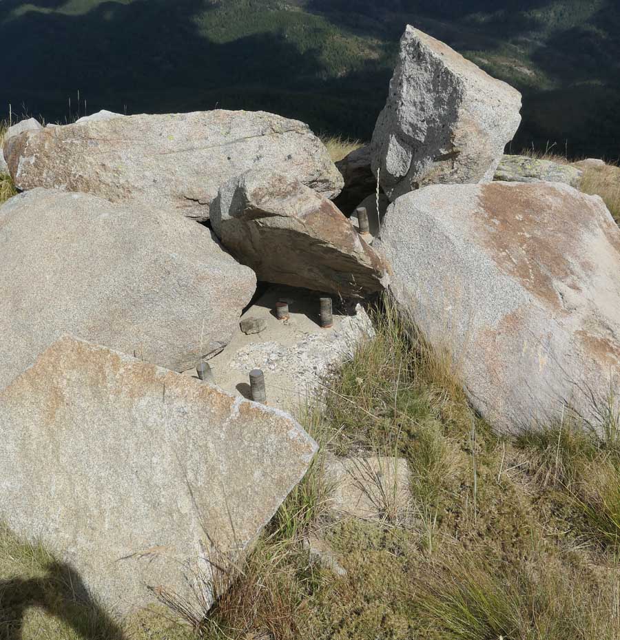
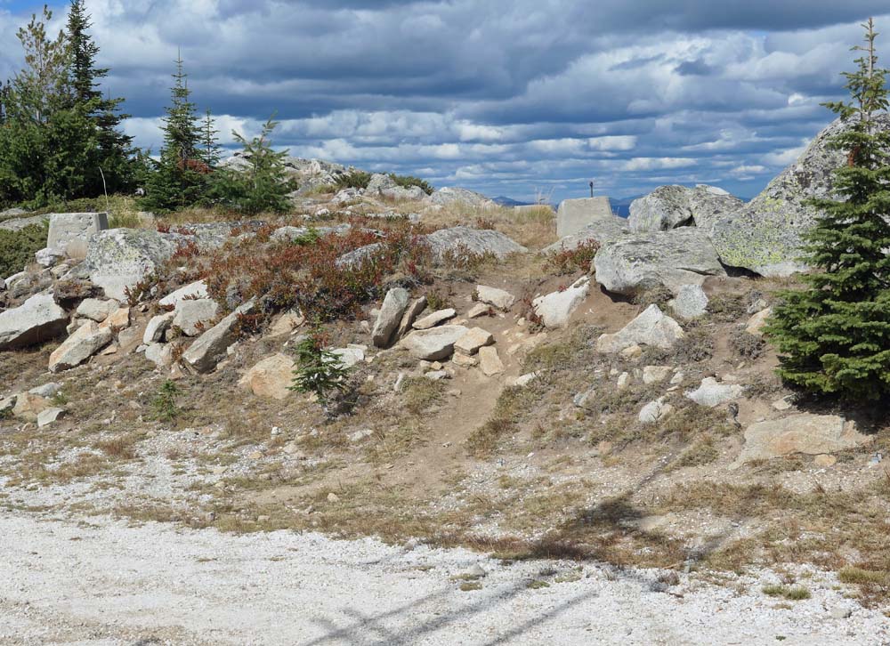
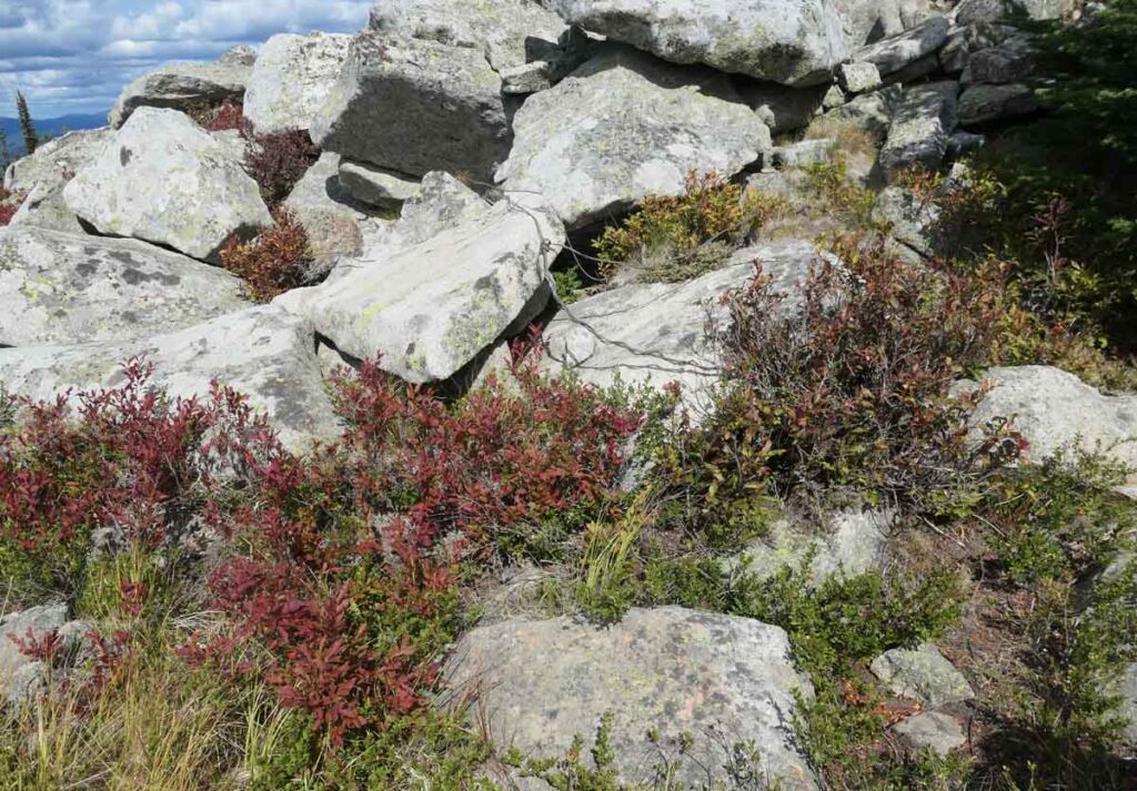
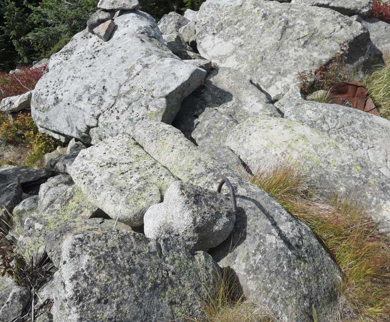
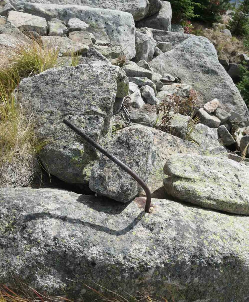
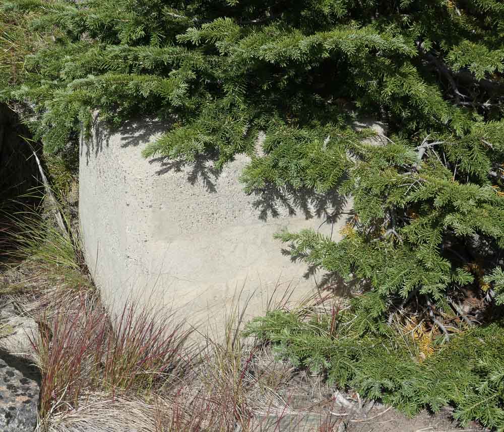
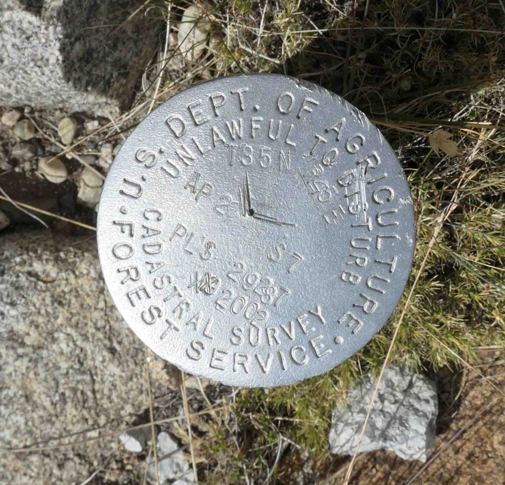
We found artifacts from lookouts 3-5 and the radar site when we visited North Baldy.
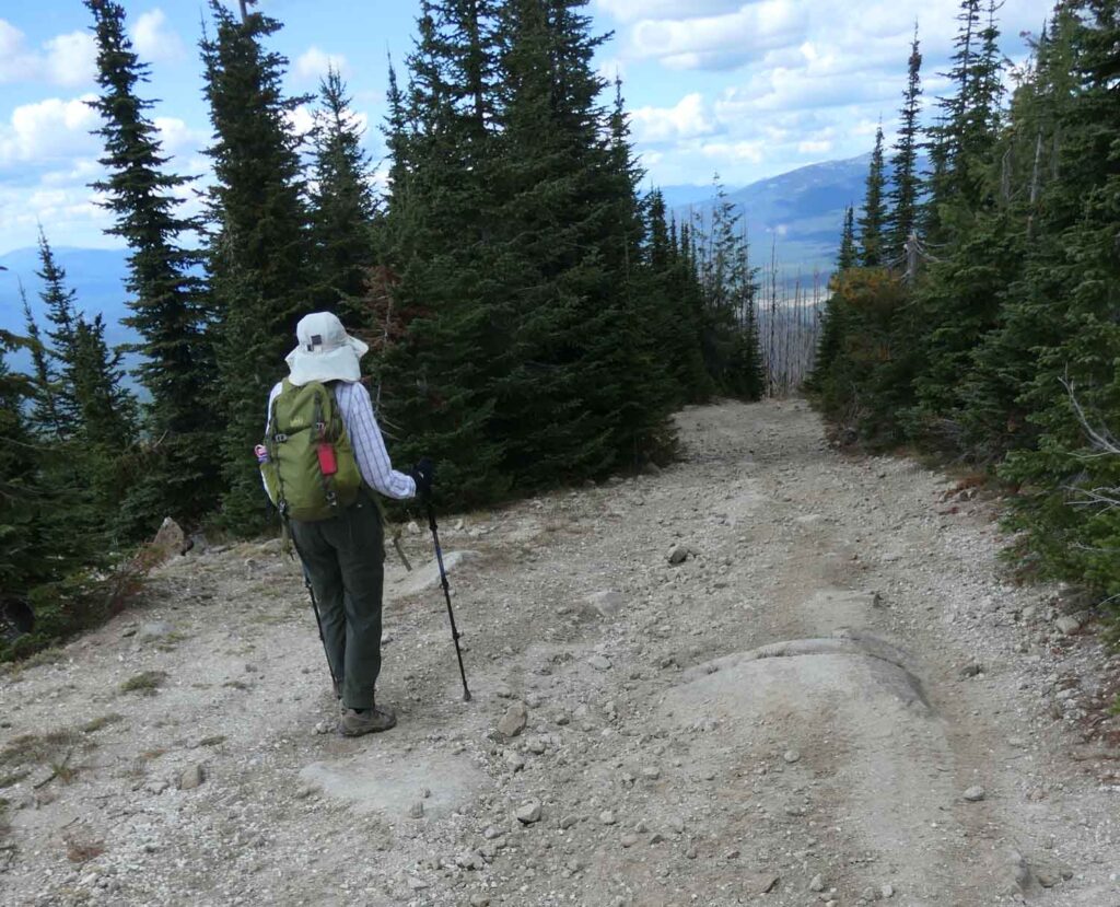
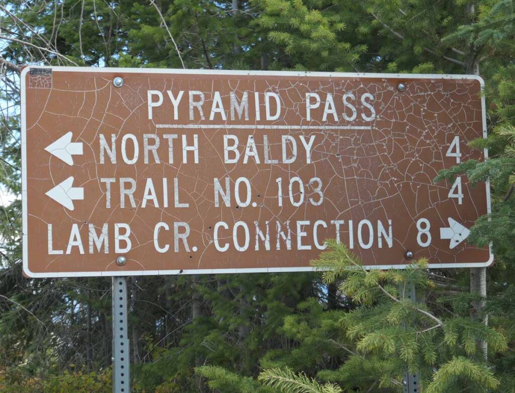
It was a long drive on gravel and dirt roads to reach North Baldy. It was still four miles by road after we reached Pyramid Pass. The road became narrower after we left the pass. The road went all the way to the top of North Baldy, but as there are rocky sections toward the top many recommend parking at a 5800’ saddle and walking the rest of the way. We stopped before the saddle and after very carefully turning the car around we walked the road to the top.

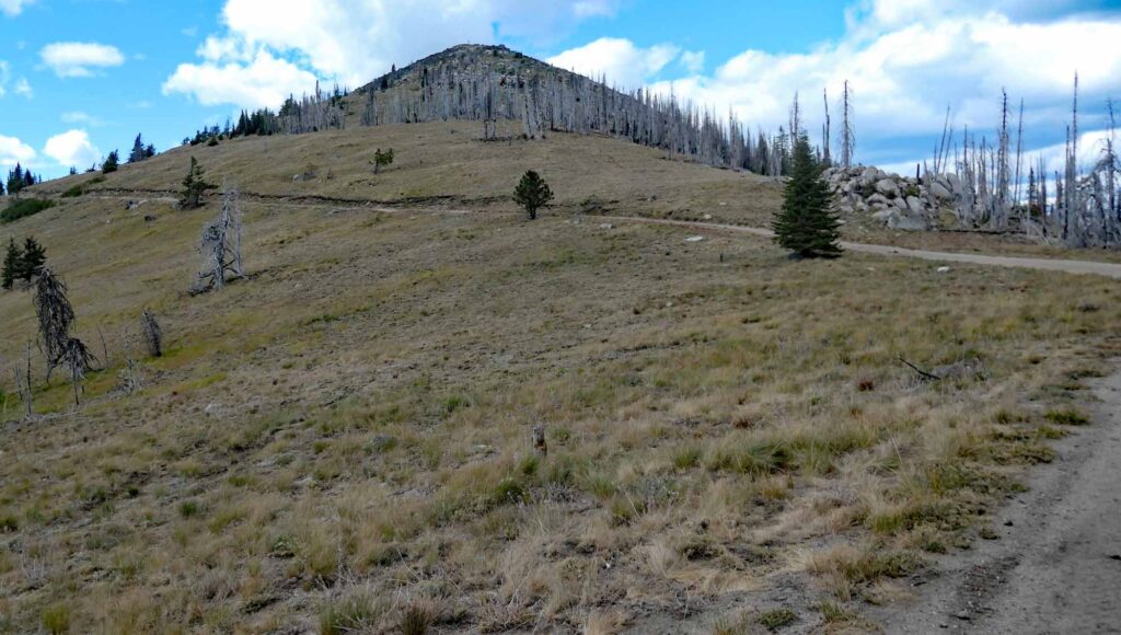
We soon reached the “5800’ saddle” that was the recommended parking spot for those without four-wheel drive. The 6173’ summit of North Baldy rose above us. The saddle area was ¼ mile south of the summit and so may have been the location of the first tent camp and the follow-on log cabin.
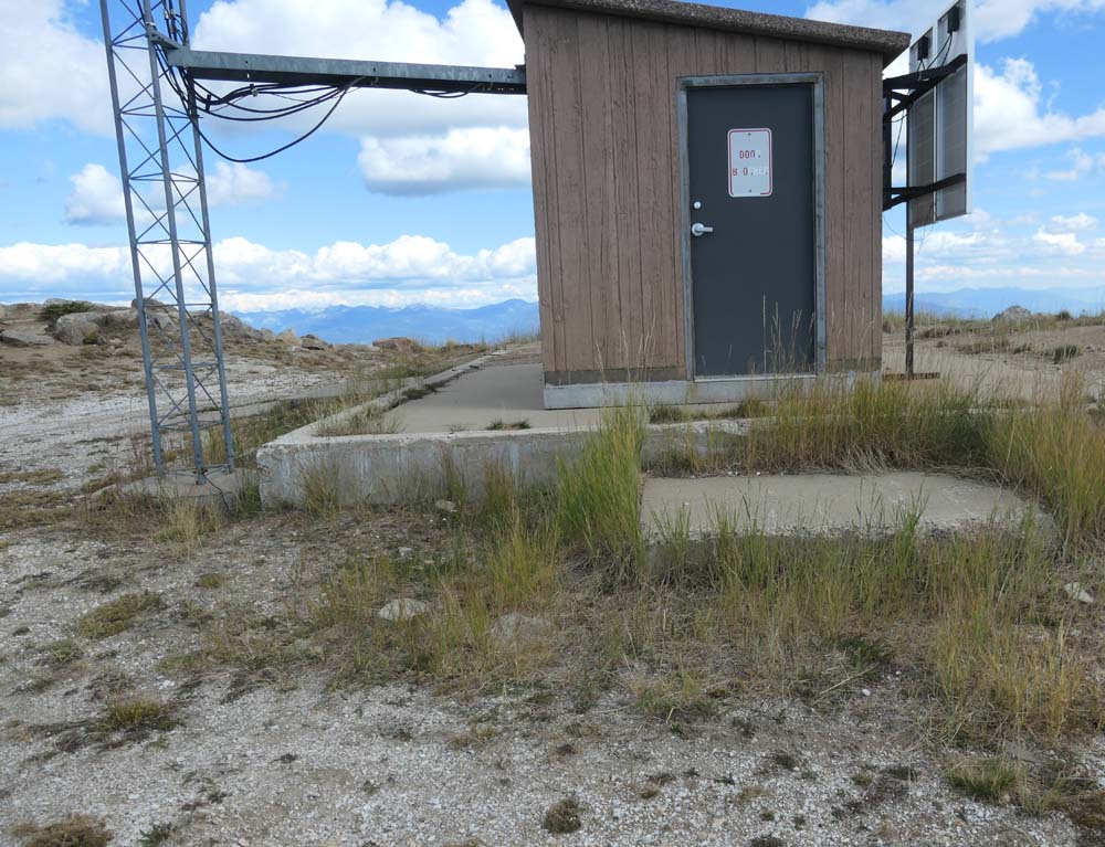
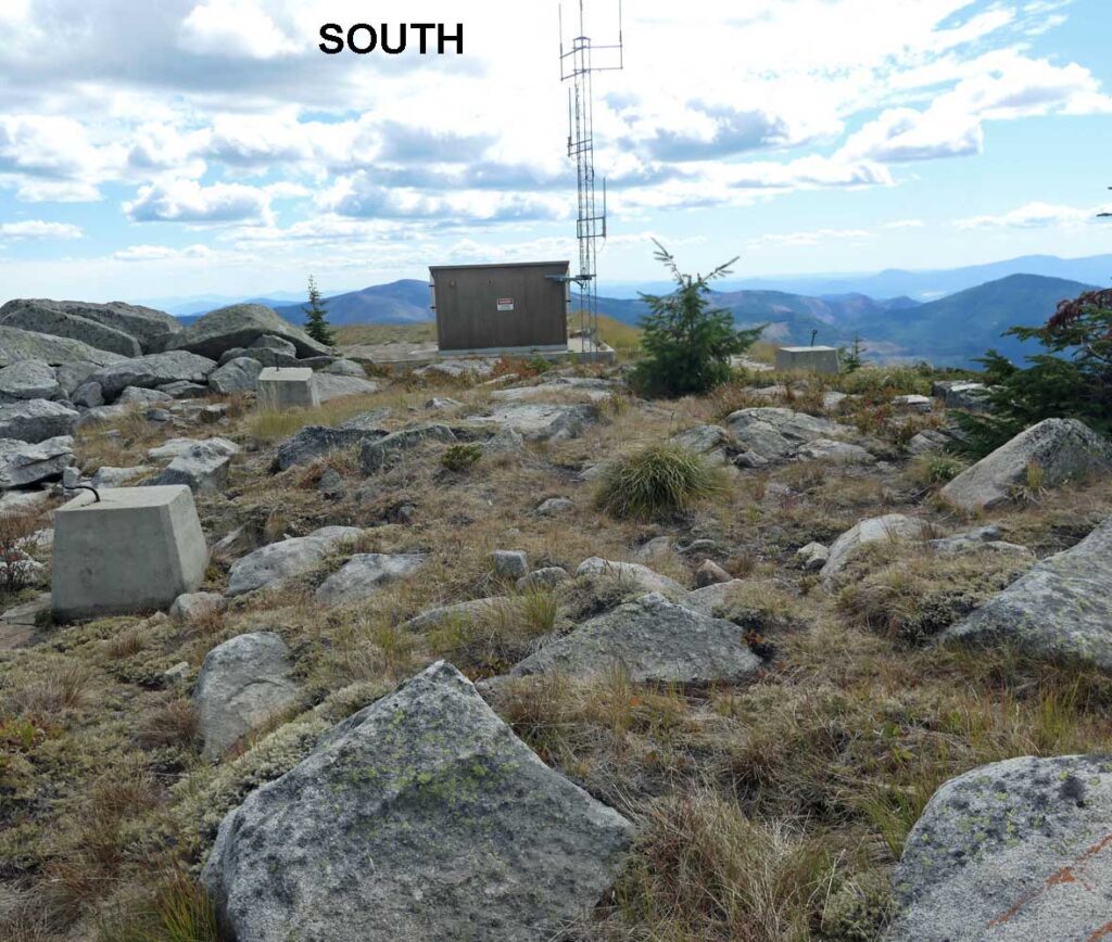
When we reached the abandoned radar site at the end of the road, we saw a communication complex with a short tower and an associated building. These were the only structures remaining on North Baldy Mountain.

The CGS established the coordinates at the center of the 1964 lookout tower as N 48 Deg 32.720 Min W 117 Dec 9.342 Mi



`
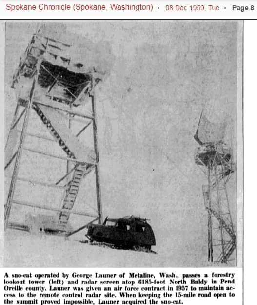
5/5/2022 Update: This 1959 image from the Spokane Chronicle shows the 1938 lookout tower as well as the Gap-Radar steel tower ~ image “borrowed” from a Post by Tom Page on Forest Fire Lookout Enthusiasts.
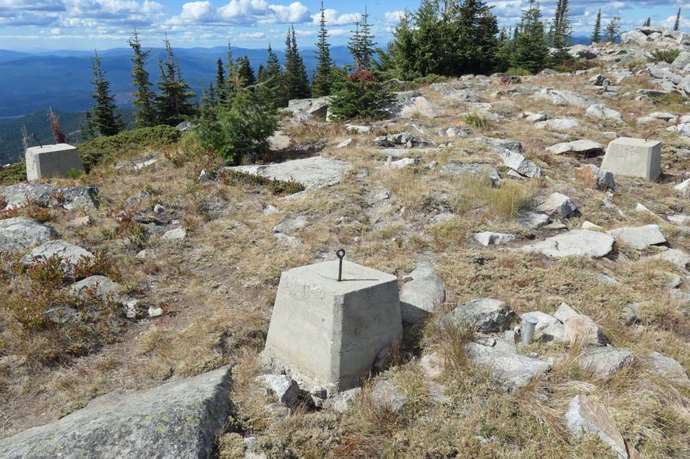


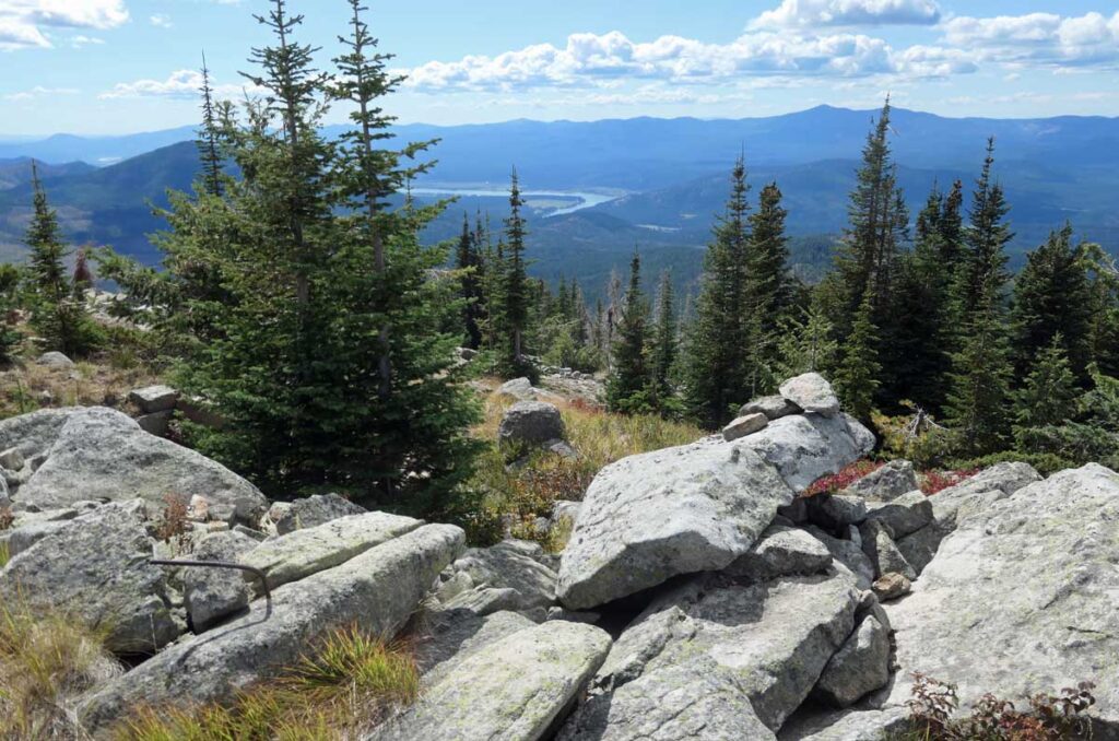
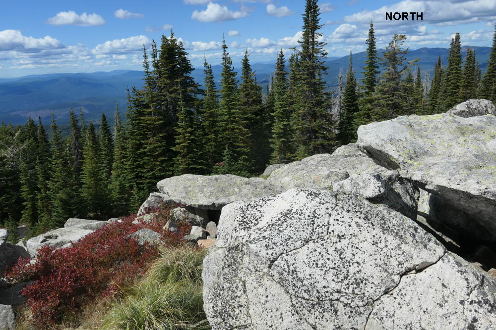
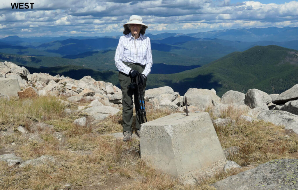
North Baldy had views of forested mountains and valleys in all directions. The Canadian border was 40 miles north. Idaho and the Priest Lake country was 7 miles east. The Pend Oreille River valley was 8 miles east and more wooded mountains lay to the south.


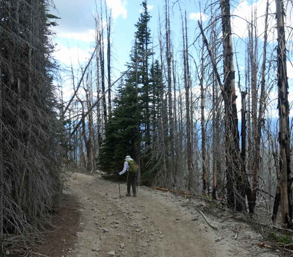
We started walking back to our car. The road first passed through a stand of healthy trees and then continued through a line of fire-killed trees.
